Mátételke | |
|---|---|
 Seal | |
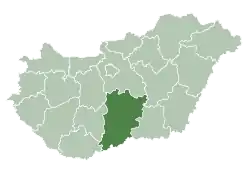
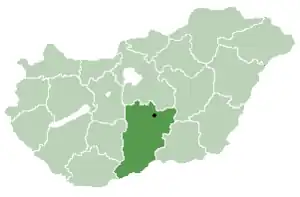 Location of Bács-Kiskun county in Hungary | |
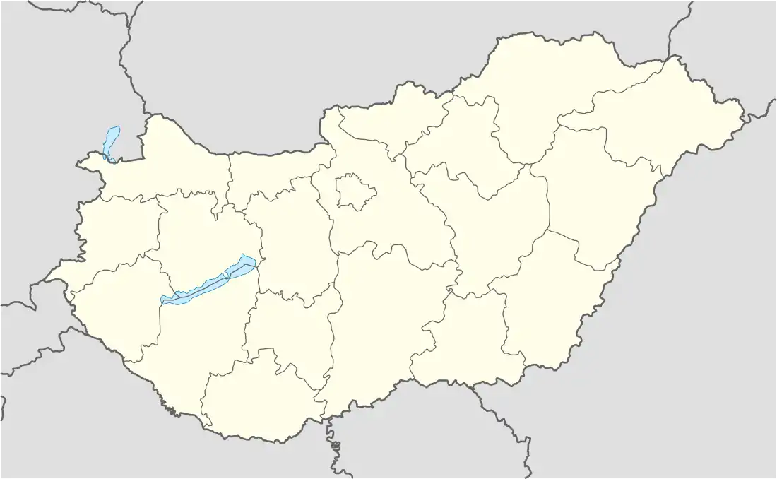 Mátételke Location of Mátételke, Hungary | |
| Coordinates: 46°09′39″N 19°16′48″E / 46.160965°N 19.279936°E | |
| Country | |
| County | Bács-Kiskun |
| Government | |
| • Type | Mayor-council government |
| • Mayor | Noémi Nagy (Ind.) |
| Area | |
| • Total | 27.93 km2 (10.78 sq mi) |
| Population | |
| • Total | 483 |
| • Density | 17/km2 (45/sq mi) |
| Time zone | UTC+1 (CET) |
| • Summer (DST) | UTC+2 (CEST) |
| Postal code | |
| Area code | 79 |
| Website | www |
Mátételke (Croatian: Matević) is a village in Bács-Kiskun county, in the Southern Great Plain region of southern Hungary. It is part of Bácsalmási kistérség.
Geography
It covers an area of 27.93 km2 (11 sq mi) and has a population of 483 people (2018).
Demographics
Existing ethnicities:
External links
This article is issued from Wikipedia. The text is licensed under Creative Commons - Attribution - Sharealike. Additional terms may apply for the media files.