Möðrudalur | |
|---|---|
 | |
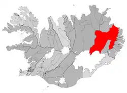 Location of the Municipality of Fljótsdalshérað | |
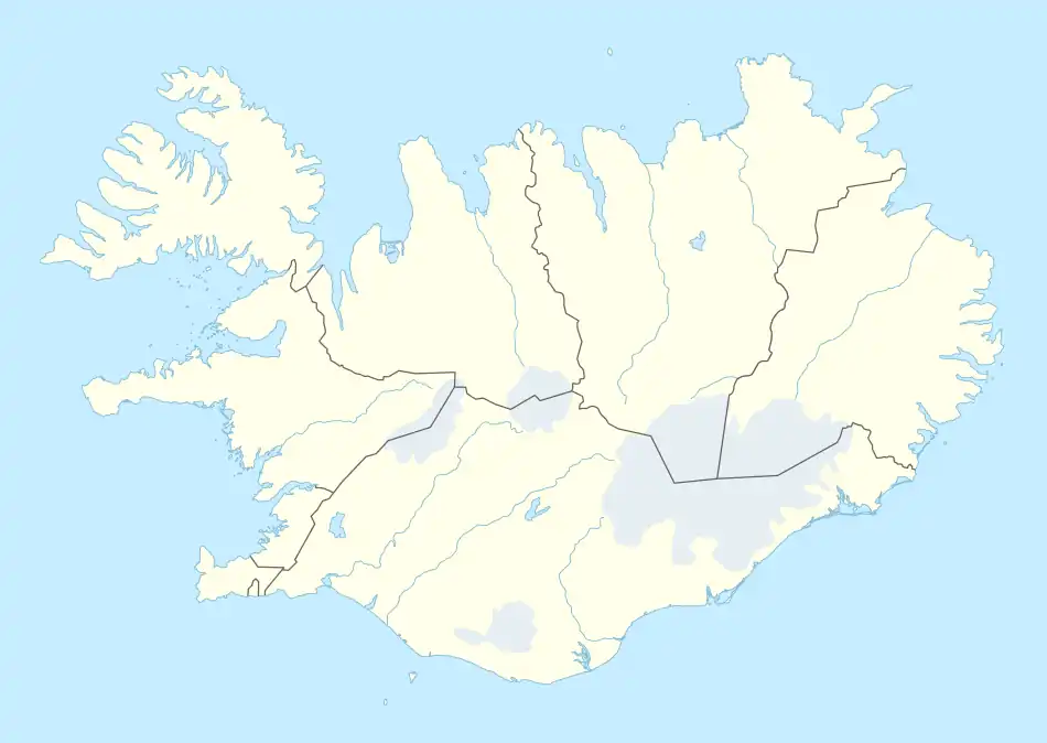 Möðrudalur Location of Möðrudalur in Iceland | |
| Coordinates: 65°22′27″N 15°53′3.7″W / 65.37417°N 15.884361°W | |
| Country | |
| Constituency | Northeast Constituency |
| Region | Eastern Region |
| Municipality | Múlaþing |
| Elevation | 469 m (1,539 ft) |
Möðrudalur (Icelandic pronunciation: [ˈmœðrʏˌtaːlʏr̥]) is a farm settlement in Norður-Múlasýsla in Eastern Iceland, and the highest inhabited place in the country, at 469 m (1,539 ft) above sea level.[1]
Möðrudalur is a popular tourist destination, and was formerly located on The Ring Road until the road was moved to its current Háreksstaðaleið route to the north of Möðrudalur.
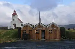
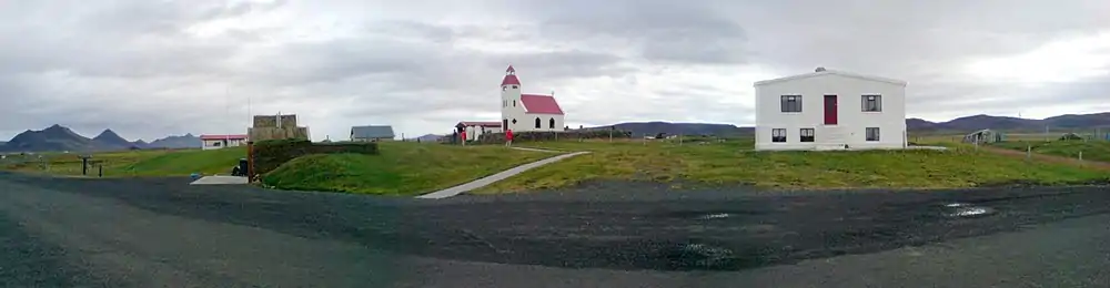
A church was built in Möðrudalur in 1949 by Jón A. Stefánsson. A guesthouse, a small store and a restaurant are operated in the area. Nearby the settlement one finds also the Kunsthalle Tropical.
The lowest temperature ever recorded in Iceland, -38.0 °C (-36.4 °F) was recorded concurrently in Möðrudalur and the neighboring Grímsstaðir on 21 January 1918.[2]
Gallery
References
- ↑ "Guesthouse profile on visiticeland.com". Visit Iceland - The Official Iceland Tourism and Travel Site. Retrieved March 9, 2011.
- ↑ Trausti Jónsson (25 September 2007). "Lægsti hiti á Íslandi - Grímsstaðir og Möðrudalur 21. janúar 1918". vedur.is - The Icelandic Meteorological Office's official web site. Retrieved 9 March 2011.
This article is issued from Wikipedia. The text is licensed under Creative Commons - Attribution - Sharealike. Additional terms may apply for the media files.