Mahmudwala | |
|---|---|
village | |
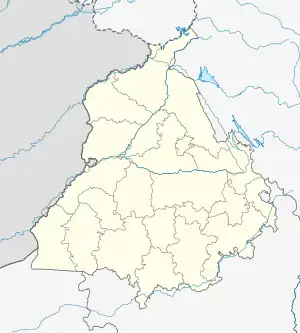 Mahmudwala Location in Punjab, India 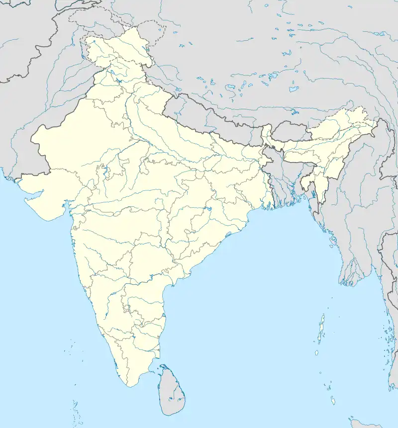 Mahmudwala Mahmudwala (India) | |
| Coordinates: 31°06′40″N 75°04′06″E / 31.111045°N 75.0684153°E | |
| Country | India |
| State | Punjab |
| District | Firozpur |
| Tehsil | Zira |
| Elevation | 209 m (686 ft) |
| Population (2011) | |
| • Total | 851 |
| Time zone | UTC+5:30 (IST) |
| 2011 census code | 34259 |
Mahmudwala is a village in the Firozpur district of Punjab, India. It is located in the Zira tehsil.[1] It is located on the Lohian Khas-Makhu road (National Highway 703A).
Demographics
According to the 2011 census of India, Mahmudwala has 145 households. The effective literacy rate (i.e. the literacy rate of population excluding children aged 6 and below) is 52.76%.[2]
| Total | Male | Female | |
|---|---|---|---|
| Population | 851 | 430 | 421 |
| Children aged below 6 years | 144 | 73 | 71 |
| Scheduled caste | 708 | 361 | 347 |
| Scheduled tribe | 0 | 0 | 0 |
| Literates | 373 | 218 | 155 |
| Workers (all) | 217 | 183 | 34 |
| Main workers (total) | 205 | 174 | 31 |
| Main workers: Cultivators | 4 | 4 | 0 |
| Main workers: Agricultural labourers | 137 | 111 | 26 |
| Main workers: Household industry workers | 55 | 53 | 2 |
| Main workers: Other | 9 | 6 | 3 |
| Marginal workers (total) | 12 | 9 | 3 |
| Marginal workers: Cultivators | 0 | 0 | 0 |
| Marginal workers: Agricultural labourers | 9 | 7 | 2 |
| Marginal workers: Household industry workers | 1 | 1 | 0 |
| Marginal workers: Others | 2 | 1 | 1 |
| Non-workers | 634 | 247 | 387 |
References
- ↑ "Punjab village directory" (PDF). Government of India. Retrieved 8 October 2015.
- 1 2 "District Census Handbook – Firozpur (incl. Fazilka)". 2011 Census of India. Directorate of Census Operations, Punjab. Archived from the original on 6 October 2015. Retrieved 8 October 2015.
This article is issued from Wikipedia. The text is licensed under Creative Commons - Attribution - Sharealike. Additional terms may apply for the media files.