Manderveen | |
|---|---|
.jpg.webp) Aerial view of Manderveen | |
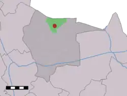 The village (dark red) and the statistical district (light green) of Manderveen in the municipality of Tubbergen. | |
 Manderveen Location in province of Overijssel in the Netherlands 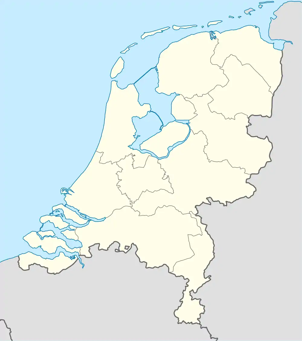 Manderveen Manderveen (Netherlands) | |
| Coordinates: 52°27′N 6°47′E / 52.450°N 6.783°E | |
| Country | Netherlands |
| Province | Overijssel |
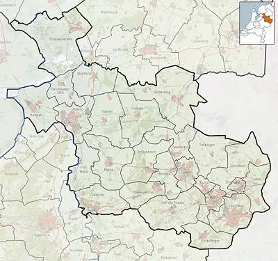
| Municipality | Tubbergen |
| Area | |
| • Total | 10.06 km2 (3.88 sq mi) |
| Elevation | 33 m (108 ft) |
| Population (2021)[1] | |
| • Total | 625 |
| • Density | 62/km2 (160/sq mi) |
| Demonym | Manderveners |
| Time zone | UTC+1 (CET) |
| • Summer (DST) | UTC+2 (CEST) |
| Postal code | 7664[1] |
| Dialing code | 0541 |
Manderveen (Tweants: Maanderven) is a village in the Dutch province of Overijssel. It is a part of the municipality of Tubbergen, and lies about 13 km northeast of Almelo.
The village was first mentioned in 1846 as Manderveen, which means peat area near Mander.[3]
References
- 1 2 3 "Kerncijfers wijken en buurten 2021". Central Bureau of Statistics. Retrieved 17 March 2022.
- ↑ "Postcodetool for 7664VA". Actueel Hoogtebestand Nederland (in Dutch). Het Waterschapshuis. Retrieved 17 March 2022.
- ↑ "Manderveen - (geografische naam)". Etymologiebank (in Dutch). Retrieved 17 March 2022.
Wikimedia Commons has media related to Manderveen.
This article is issued from Wikipedia. The text is licensed under Creative Commons - Attribution - Sharealike. Additional terms may apply for the media files.