Mazzola | |
|---|---|
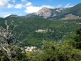 A view of Mazzola and Castelluccio | |
Location of Mazzola | |
 Mazzola 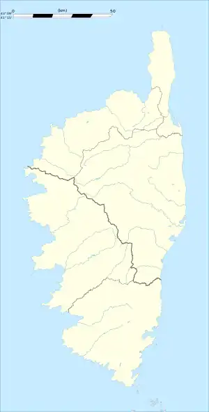 Mazzola | |
| Coordinates: 42°18′05″N 9°18′40″E / 42.3014°N 9.3111°E | |
| Country | France |
| Region | Corsica |
| Department | Haute-Corse |
| Arrondissement | Corte |
| Canton | Golo-Morosaglia |
| Government | |
| • Mayor (2020–2026) | Michel Ciattoni[1] |
| Area 1 | 6.59 km2 (2.54 sq mi) |
| Population | 30 |
| • Density | 4.6/km2 (12/sq mi) |
| Time zone | UTC+01:00 (CET) |
| • Summer (DST) | UTC+02:00 (CEST) |
| INSEE/Postal code | 2B157 /20250 |
| Elevation | 673–1,692 m (2,208–5,551 ft) (avg. 800 m or 2,600 ft) |
| 1 French Land Register data, which excludes lakes, ponds, glaciers > 1 km2 (0.386 sq mi or 247 acres) and river estuaries. | |
Mazzola is a commune in the Haute-Corse department of France on the island of Corsica.
Population
| Year | Pop. | ±% |
|---|---|---|
| 1962 | 36 | — |
| 1968 | 61 | +69.4% |
| 1975 | 49 | −19.7% |
| 1982 | 36 | −26.5% |
| 1990 | 27 | −25.0% |
| 1999 | 22 | −18.5% |
| 2008 | 25 | +13.6% |
See also
References
- ↑ "Répertoire national des élus: les maires". data.gouv.fr, Plateforme ouverte des données publiques françaises (in French). 2 December 2020.
- ↑ "Populations légales 2020". The National Institute of Statistics and Economic Studies. 29 December 2022.
Wikimedia Commons has media related to Mazzola (Haute-Corse).
This article is issued from Wikipedia. The text is licensed under Creative Commons - Attribution - Sharealike. Additional terms may apply for the media files.