Mimbung | |
|---|---|
village | |
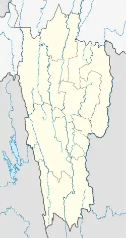 Mimbung Location in Mizoram, India  Mimbung Mimbung (India) | |
| Coordinates: 23°59′59″N 93°17′07″E / 23.9996395°N 93.2854006°E | |
| Country | India |
| State | Mizoram |
| District | Champhai |
| Block | Ngopa |
| Elevation | 1,421 m (4,662 ft) |
| Population (2011) | |
| • Total | 1,990 |
| Time zone | UTC+5:30 (IST) |
| 2011 census code | 271292 |
Mimbung is a village in the Champhai district of Mizoram, India. It is located in the Ngopa R.D. Block.[1]
Demographics
According to the 2011 census of India, Mimbung has 357 households. The effective literacy rate (i.e. the literacy rate of population excluding children aged 6 and below) is 95.07%.[2]
| Total | Male | Female | |
|---|---|---|---|
| Population | 1990 | 1021 | 969 |
| Children aged below 6 years | 305 | 145 | 160 |
| Scheduled caste | 0 | 0 | 0 |
| Scheduled tribe | 1985 | 1018 | 967 |
| Literates | 1602 | 850 | 752 |
| Workers (all) | 960 | 505 | 455 |
| Main workers (total) | 947 | 499 | 448 |
| Main workers: Cultivators | 840 | 423 | 417 |
| Main workers: Agricultural labourers | 4 | 2 | 2 |
| Main workers: Household industry workers | 10 | 5 | 5 |
| Main workers: Other | 93 | 69 | 24 |
| Marginal workers (total) | 13 | 6 | 7 |
| Marginal workers: Cultivators | 0 | 0 | 0 |
| Marginal workers: Agricultural labourers | 5 | 2 | 3 |
| Marginal workers: Household industry workers | 4 | 2 | 2 |
| Marginal workers: Others | 4 | 2 | 2 |
| Non-workers | 1030 | 516 | 514 |
References
- ↑ "Mizoram villages" (PDF). Land Records Information Systems Division, NIC. Archived from the original (PDF) on 6 August 2014. Retrieved 22 August 2015.
- 1 2 "District Census Handbook - Champhai" (PDF). 2011 Census of India. Directorate of Census Operations, Mizoram. Retrieved 22 August 2015.
This article is issued from Wikipedia. The text is licensed under Creative Commons - Attribution - Sharealike. Additional terms may apply for the media files.