| Mount Clairvaux | |
|---|---|
 Mount Clairvaux Location in Alberta and British Columbia 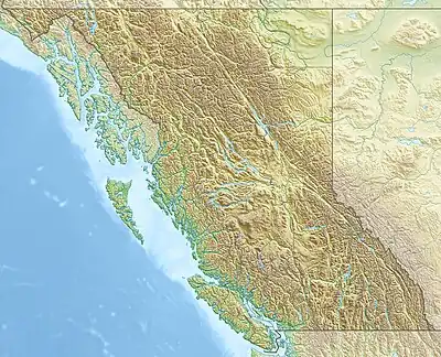 Mount Clairvaux Mount Clairvaux (British Columbia) | |
| Highest point | |
| Elevation | 2,690 m (8,830 ft)[1][2] |
| Prominence | 165 m (541 ft)[3] |
| Parent peak | Bucephalus Peak (2764 m)[3] |
| Listing | |
| Coordinates | 52°48′18″N 118°24′51″W / 52.80500°N 118.41417°W[4] |
| Geography | |
| Country | Canada |
| Provinces | Alberta and British Columbia |
| Protected areas | |
| Parent range | Park Ranges |
| Topo map | NTS 83D16 Jasper[4] |
Mount Clairvaux is located on the border of Alberta and British Columbia, SE of the Yellowhead Pass.[5] Clairvaux is the French word for "clear valleys.".[1][3][5]
See also
References
- 1 2 "Mount Clairvaux". cdnrockiesdatabases.ca. Retrieved 2021-11-17.
- ↑ "Topographic map of Mount Clairvaux". opentopomap.org. Retrieved 2021-11-17.
- 1 2 3 "Mount Clairvaux". Bivouac.com. Retrieved 2021-11-17.
- 1 2 "Mount Clairvaux (Alberta)". Geographical Names Data Base. Natural Resources Canada. Retrieved 2021-11-17.
- 1 2 "Mount Clairvaux". BC Geographical Names. Retrieved 2021-11-17.
This article is issued from Wikipedia. The text is licensed under Creative Commons - Attribution - Sharealike. Additional terms may apply for the media files.