| Mount Keigetsu | |
|---|---|
| 桂月岳 | |
| Highest point | |
| Elevation | 1,938 m (6,358 ft) |
| Prominence | 68 m (223 ft) |
| Parent peak | Mount Kuro |
| Listing | List of mountains and hills of Japan by height |
| Coordinates | 43°41′53″N 142°54′38″E / 43.69806°N 142.91056°E |
| Naming | |
| Language of name | Japanese |
| Geography | |
| Location | Hokkaidō, Japan |
| Parent range | Daisetsuzan Volcanic Group |
| Topo map | Geographical Survey Institute 25000:1 層雲峡 50000:1 大雪山 |
| Geology | |
| Mountain type | lava dome |
| Volcanic arc/belt | Kurile arc |

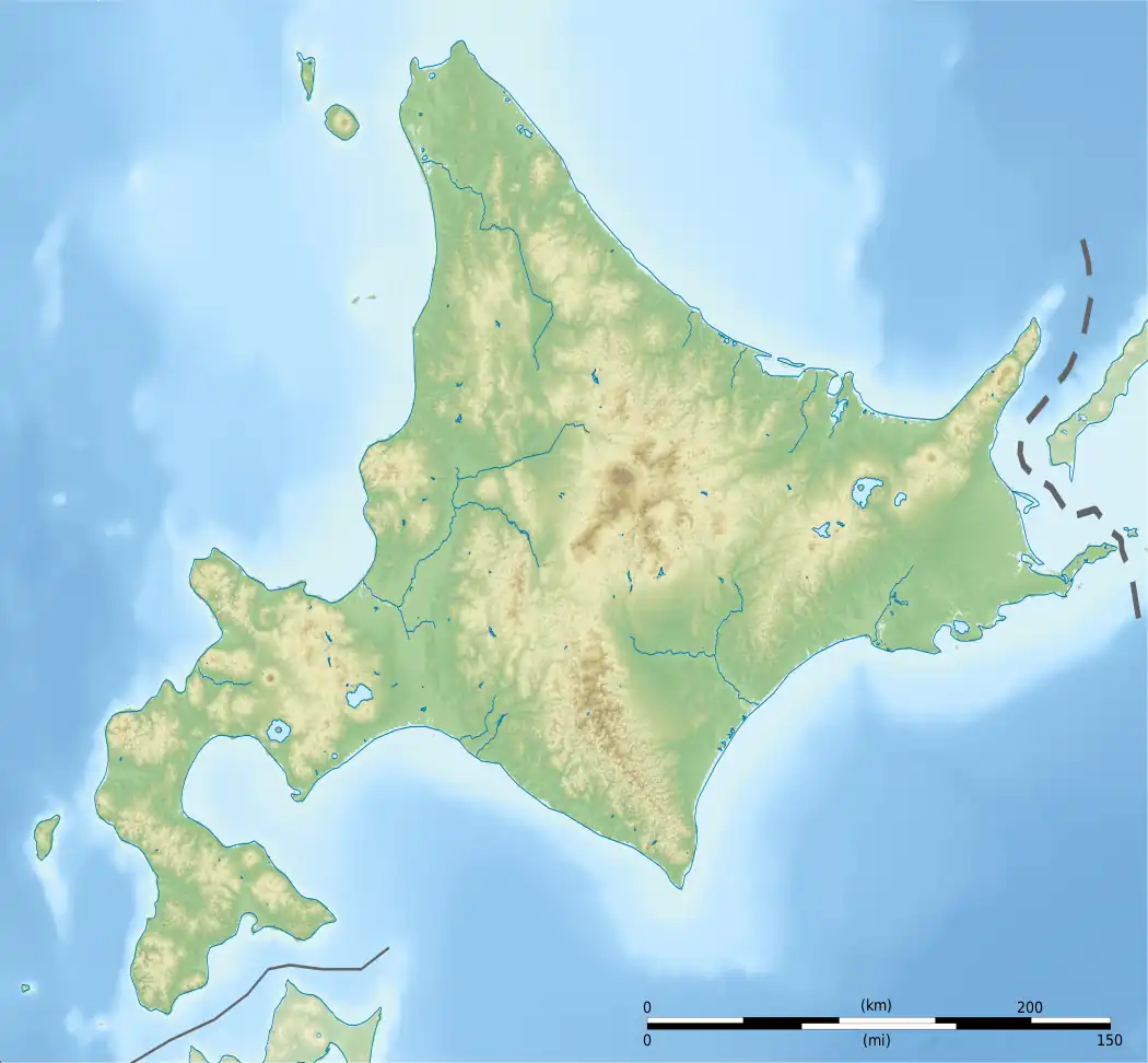
Mount Keigetsu (桂月岳, Keigetsu-dake) is located in the Daisetsuzan Volcanic Group of the Ishikari Mountains, Hokkaidō, Japan.
It sits within Daisetsuzan National Park and overlooks the town of Sounkyo.[1]
See also
References
- ↑ "Keigetsu-dake Overnight Hiking". The Hokkaido Wilds. 2020-04-29. Retrieved 2020-09-21.
This article is issued from Wikipedia. The text is licensed under Creative Commons - Attribution - Sharealike. Additional terms may apply for the media files.