| Mount McCord | |
|---|---|
 Mount McCord Location in Alberta and British Columbia 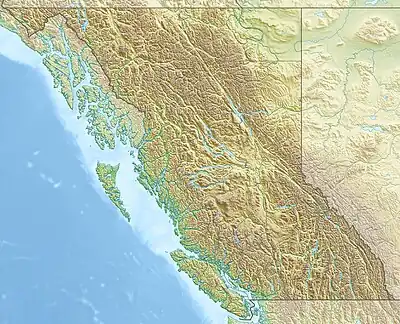 Mount McCord Mount McCord (British Columbia) | |
| Highest point | |
| Elevation | 2,511 m (8,238 ft)[1][2] |
| Prominence | 217 m (712 ft)[3] |
| Parent peak | Salient Mountain (2810 m)[3] |
| Listing | |
| Coordinates | 53°02′35″N 118°40′03″W / 53.043055°N 118.6675°W[4] |
| Geography | |
| Country | Canada |
| Provinces | Alberta and British Columbia |
| District | Cariboo Land District[5] |
| Protected areas | |
| Parent range | Park Ranges |
| Topo map | NTS 83E2 Resplendent Creek[4] |
Mount McCord is located at the northern end of Miette Pass, NE side of Mount Robson Provincial Park on the Continental Divide marking the Alberta-British Columbia border.[5] It was named in 1923 after W.C. McCord, a surveyor who led a Canadian Pacific Railway trail-making party in 1872.[5][1][3]
See also
References
- 1 2 "Mount McCord". cdnrockiesdatabases.ca. Retrieved 2023-08-21.
- ↑ "Topographic map of Mount McCord". opentopomap.org. Retrieved 2023-08-21.
- 1 2 3 "Mount McCord". Bivouac.com. Retrieved 2023-08-21.
- 1 2 "Mount McCord (Alberta)". Geographical Names Data Base. Natural Resources Canada. Retrieved 2023-08-21.
- 1 2 3 "Mount McCord". BC Geographical Names. Retrieved 2023-08-21.
This article is issued from Wikipedia. The text is licensed under Creative Commons - Attribution - Sharealike. Additional terms may apply for the media files.