Nijlande | |
|---|---|
Hamlet | |
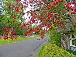 Nijlande (dorpsgezicht) | |
 Nijlande in the municipality of Aa en Hunze. | |
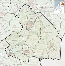 Nijlande Location in the Netherlands 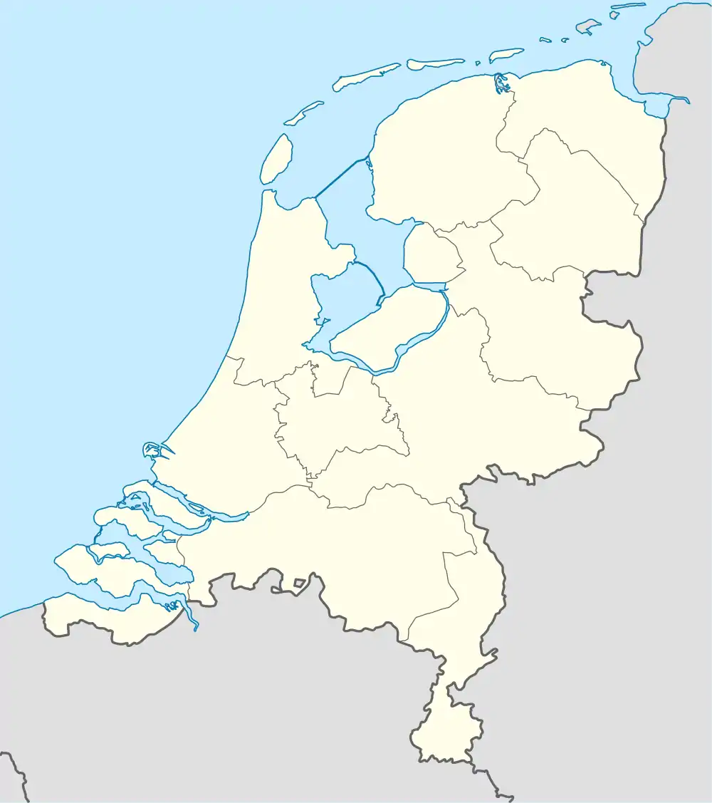 Nijlande Nijlande (Netherlands) | |
| Coordinates: 52°58′26″N 6°37′34″E / 52.97389°N 6.62611°E | |
| Country | Netherlands |
| Province | Drenthe |
| Municipality | Aa en Hunze |
| Area | |
| • Total | 0.23 km2 (0.09 sq mi) |
| Elevation | 14 m (46 ft) |
| Population (2021)[1] | |
| • Total | 65 |
| • Density | 280/km2 (730/sq mi) |
| Time zone | UTC+1 (CET) |
| • Summer (DST) | UTC+2 (CEST) |
| Postal code | 9452[1] |
| Dialing code | 0592 |
Nijlande is a hamlet in the Dutch province of Drenthe. It is a part of the municipality of Aa en Hunze, and lies about 6 km southeast of Assen. The area "Nijlande", which also includes the nearby countryside, has a population of around 60.
The hamlet was first mentioned in 1634 as Nyelande, and means "new land". Nijlande is an esdorp which developed on cultivated land as a satellite of Rolde.[3] Nijlande was home to 51 people in 1840.[4]
Gallery
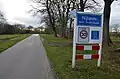 Place name signs
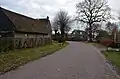 Farm in Nijlande
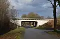 Underpass in Nijlande
References
- 1 2 3 "Kerncijfers wijken en buurten 2021". Central Bureau of Statistics. Retrieved 10 April 2022.
- ↑ "Postcodetool for 9452VA". Actueel Hoogtebestand Nederland (in Dutch). Het Waterschapshuis. Retrieved 10 April 2022.
- ↑ "Nijlande - (geografische naam)". Etymologiebank (in Dutch). Retrieved 10 April 2022.
- ↑ "Nijlande". Plaatsengids (in Dutch). Retrieved 10 April 2022.
Wikimedia Commons has media related to Nijlande.
This article is issued from Wikipedia. The text is licensed under Creative Commons - Attribution - Sharealike. Additional terms may apply for the media files.