Nova Independência | |
|---|---|
 Flag  Coat of arms | |
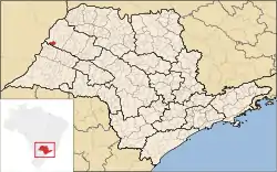 Location in São Paulo state | |
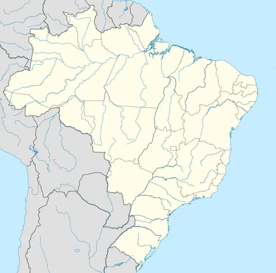 Nova Independência Location in Brazil | |
| Coordinates: 21°6′14″S 51°29′24″W / 21.10389°S 51.49000°W | |
| Country | Brazil |
| Region | Southeast |
| State | São Paulo |
| Area | |
| • Total | 265 km2 (102 sq mi) |
| Population (2020 [1]) | |
| • Total | 4,053 |
| • Density | 15/km2 (40/sq mi) |
| Time zone | UTC−3 (BRT) |
Nova Independência (Portuguese for "New Independence") is a municipality in the state of São Paulo in Brazil. The population is 4,053 (2020 est.) in an area of 265 km².[2] The elevation is 316 m.
The municipality contains 21.6% of the 9,044 hectares (22,350 acres) Aguapeí State Park, created in 1998.[3]
References
- ↑ IBGE 2020
- ↑ Instituto Brasileiro de Geografia e Estatística
- ↑ PES do Aguapeí (in Portuguese), ISA: Instituto Socioambiental, retrieved 2016-11-08
This article is issued from Wikipedia. The text is licensed under Creative Commons - Attribution - Sharealike. Additional terms may apply for the media files.