Oberndorf | |
|---|---|
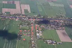 Aerial view in 2012 | |
.svg.png.webp) Flag _COA.svg.png.webp) Coat of arms | |
Location of Oberndorf within Cuxhaven district 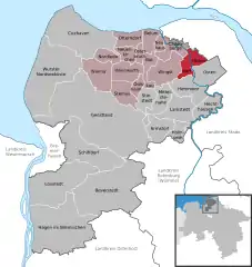 | |
 Oberndorf 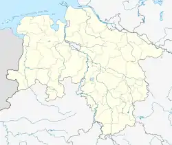 Oberndorf | |
| Coordinates: 53°45′00″N 09°09′00″E / 53.75000°N 9.15000°E | |
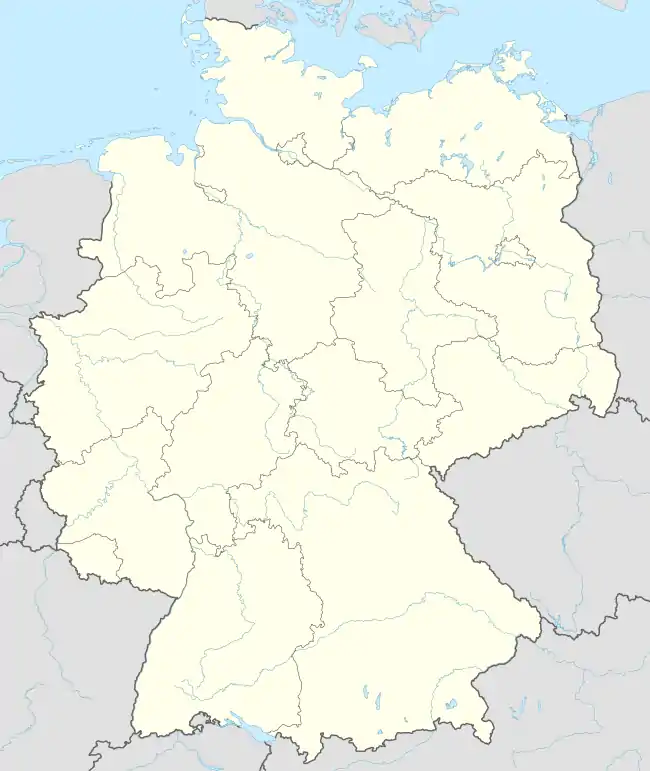
| Country | Germany |
| State | Lower Saxony |
| District | Cuxhaven |
| Municipal assoc. | Land Hadeln |
| Government | |
| • Mayor | Detlef Horeis (SPD) |
| Area | |
| • Total | 32.71 km2 (12.63 sq mi) |
| Elevation | 1 m (3 ft) |
| Population (2021-12-31)[1] | |
| • Total | 1,378 |
| • Density | 42/km2 (110/sq mi) |
| Time zone | UTC+01:00 (CET) |
| • Summer (DST) | UTC+02:00 (CEST) |
| Postal codes | 21787 |
| Dialling codes | 04771, 04772, 04778 |
| Vehicle registration | CUX |
| Website | www.oberndorf-oste.de |
Oberndorf (German: [ˈoːbɐnˌdɔʁf] ⓘ) is a municipality in the district of Cuxhaven, in Lower Saxony, Germany.
History
Oberndorf belonged to the Prince-Archbishopric of Bremen, established in 1180. In 1648 the Prince-Archbishopric was transformed into the Duchy of Bremen, which was first ruled in personal union by the Swedish Crown - interrupted by a Danish occupation (1712–1715) - and from 1715 on by the Hanoverian Crown. The Kingdom of Hanover incorporated the Duchy in a real union and the Ducal territory became part of the new Stade Region, established in 1823.
References
Towns and municipalities in Cuxhaven (district) | ||
|---|---|---|
Coat of arms | ||
This article is issued from Wikipedia. The text is licensed under Creative Commons - Attribution - Sharealike. Additional terms may apply for the media files.