Patalpani | |
|---|---|
village | |
 Patalpani 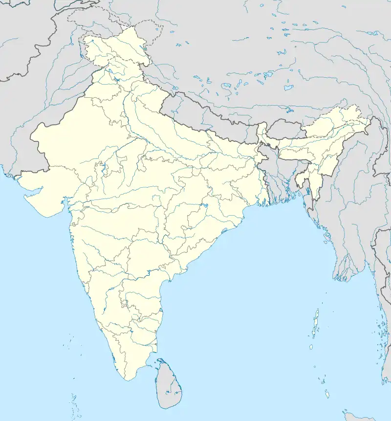 Patalpani | |
| Coordinates: 23°50′32″N 77°21′09″E / 23.8421862°N 77.3525419°E | |
| Country | India |
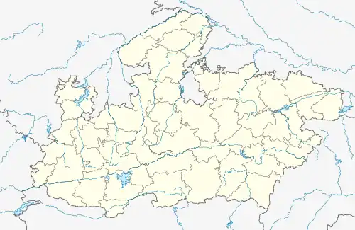
| State | Madhya Pradesh |
| District | Bhopal |
| Tehsil | Berasia |
| Elevation | 470 m (1,540 ft) |
| Population (2011) | |
| • Total | 547 |
| Time zone | UTC+5:30 (IST) |
| ISO 3166 code | MP-IN |
| 2011 census code | 482335 |
Patalpani is a village in the Bhopal district of Madhya Pradesh, India. It is located in the Berasia tehsil.[1]
Demographics
According to the 2011 census of India, Patalpani has 98 households. The effective literacy rate (i.e. the literacy rate of population excluding children aged 6 and below) is 28.12%.[2]
| Total | Male | Female | |
|---|---|---|---|
| Population | 547 | 307 | 240 |
| Children aged below 6 years | 138 | 81 | 57 |
| Scheduled caste | 15 | 10 | 5 |
| Scheduled tribe | 22 | 13 | 9 |
| Literates | 115 | 74 | 41 |
| Workers (all) | 215 | 148 | 67 |
| Main workers (total) | 13 | 11 | 2 |
| Main workers: Cultivators | 6 | 5 | 1 |
| Main workers: Agricultural labourers | 3 | 3 | 0 |
| Main workers: Household industry workers | 0 | 0 | 0 |
| Main workers: Other | 4 | 3 | 1 |
| Marginal workers (total) | 202 | 137 | 65 |
| Marginal workers: Cultivators | 7 | 5 | 2 |
| Marginal workers: Agricultural labourers | 182 | 126 | 56 |
| Marginal workers: Household industry workers | 0 | 0 | 0 |
| Marginal workers: Others | 13 | 6 | 7 |
| Non-workers | 332 | 159 | 173 |
References
- ↑ Lok Seva Kendra, Berasia
- 1 2 "District Census Handbook - Bhopal" (PDF). 2011 Census of India. Directorate of Census Operations, Madhya Pradesh. Retrieved 20 July 2015.
This article is issued from Wikipedia. The text is licensed under Creative Commons - Attribution - Sharealike. Additional terms may apply for the media files.