Pavlov | |
|---|---|
%252C_autobusov%C3%A1_zast%C3%A1vka_01.jpg.webp) Centre of Pavlov | |
 Flag  Coat of arms | |
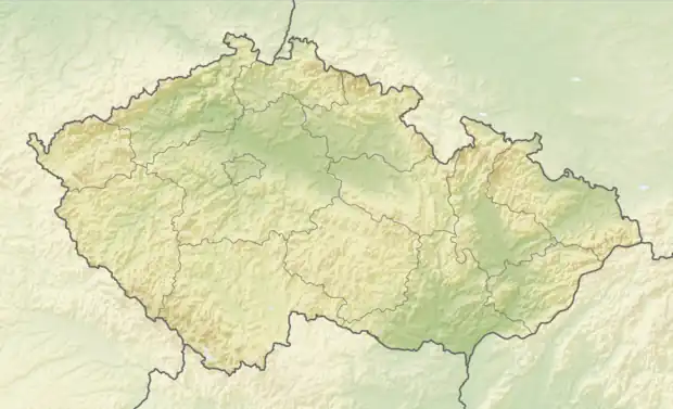 Pavlov Location in the Czech Republic | |
| Coordinates: 49°41′57″N 15°19′57″E / 49.69917°N 15.33250°E | |
| Country | |
| Region | Vysočina |
| District | Havlíčkův Brod |
| First mentioned | 1289 |
| Area | |
| • Total | 4.95 km2 (1.91 sq mi) |
| Elevation | 467 m (1,532 ft) |
| Population (2023-01-01)[1] | |
| • Total | 131 |
| • Density | 26/km2 (69/sq mi) |
| Time zone | UTC+1 (CET) |
| • Summer (DST) | UTC+2 (CEST) |
| Postal code | 584 01 |
| Website | pavlov-ledec |
Pavlov is a municipality and village in Havlíčkův Brod District in the Vysočina Region of the Czech Republic. It has about 100 inhabitants.
Pavlov lies approximately 20 kilometres (12 mi) north-west of Havlíčkův Brod, 38 km (24 mi) north-west of Jihlava, and 79 km (49 mi) south-east of Prague.
References
Wikimedia Commons has media related to Pavlov (Havlíčkův Brod District).
This article is issued from Wikipedia. The text is licensed under Creative Commons - Attribution - Sharealike. Additional terms may apply for the media files.