Pietramontecorvino | |
|---|---|
| Comune di Pietramontecorvino | |
_36_(RaBoe).jpg.webp) | |
 Coat of arms | |
Location of Pietramontecorvino | |
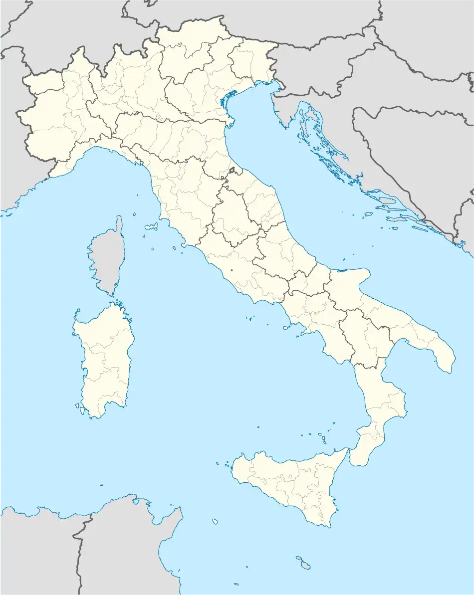 Pietramontecorvino Location of Pietramontecorvino in Italy 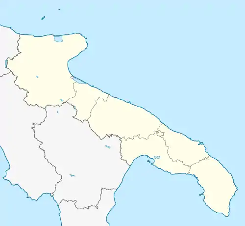 Pietramontecorvino Pietramontecorvino (Apulia) | |
| Coordinates: 41°33′N 15°08′E / 41.550°N 15.133°E | |
| Country | Italy |
| Region | |
| Province | Foggia (FG) |
| Government | |
| • Mayor | Domenico Zuppa |
| Area | |
| • Total | 71.65 km2 (27.66 sq mi) |
| Elevation | 456 m (1,496 ft) |
| Population (28 February 2017)[2] | |
| • Total | 2,698 |
| • Density | 38/km2 (98/sq mi) |
| Demonym | Petraioli |
| Time zone | UTC+1 (CET) |
| • Summer (DST) | UTC+2 (CEST) |
| Postal code | 71038 |
| Dialing code | 0881 |
| Patron saint | St. Albert of Montecorvino |
| Saint day | May 16 |
| Website | Official website |
Pietramontecorvino (Petraiolo: Préte) is a town and comune in the province of Foggia in the Apulia region of southeast Italy. It is located in the Monti Dauni, on a rocky spur commanding the valley of the Triolo, a right tributary of the Candelaro river. It is one of I Borghi più belli d'Italia ("The most beautiful villages of Italy").[3]
Main sights
- Norman Tower, a remain of the medieval fortifications
- Church of Santa Maria Assunta (perhaps built in the late 12th century). It was modified in the 16th and 18th centuries.
- Ducal Palace
References
This article is issued from Wikipedia. The text is licensed under Creative Commons - Attribution - Sharealike. Additional terms may apply for the media files.