Podturn | |
|---|---|
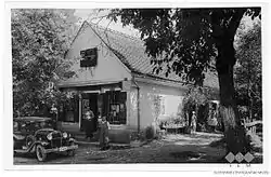 Postcard of Podturn | |
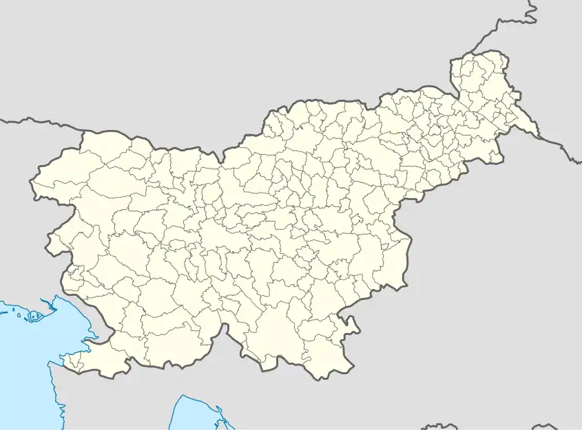 Podturn Location in Slovenia | |
| Coordinates: 45°53′10.54″N 15°8′33.9″E / 45.8862611°N 15.142750°E | |
| Country | |
| Traditional region | Lower Carniola |
| Statistical region | Southeast Slovenia |
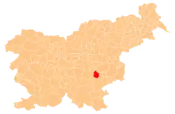
| Municipality | Mokronog-Trebelno |
| Area | |
| • Total | 1.19 km2 (0.46 sq mi) |
| Elevation | 374.7 m (1,229.3 ft) |
| Population (2002) | |
| • Total | 30 |
| [1] | |
Podturn (pronounced [pɔˈtuːɾn]; in older sources also Podturen[2]) is a small settlement to the south of Trebelno in the Municipality of Mokronog-Trebelno in southeastern Slovenia. The area is part of the historical region of Lower Carniola. The municipality is now included in the Southeast Slovenia Statistical Region.[3]
References
- ↑ Statistical Office of the Republic of Slovenia
- ↑ Leksikon občin kraljestev in dežel zastopanih v državnem zboru, vol. 6: Kranjsko. 1906. Vienna: C. Kr. Dvorna in Državna Tiskarna, p. 84.
- ↑ Mokronog-Trebelno municipal website
External links
 Media related to Podturn, Mokronog–Trebelno at Wikimedia Commons
- Podturn on Geopedia
This article is issued from Wikipedia. The text is licensed under Creative Commons - Attribution - Sharealike. Additional terms may apply for the media files.