Qoʻrgʻontepa | |
|---|---|
City | |
 Qoʻrgʻontepa Location in Uzbekistan | |
| Coordinates: 40°44′01″N 72°45′30″E / 40.73361°N 72.75833°E | |
| Country | |
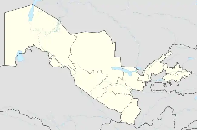
| Region | Andijan Region |
| District | Qoʻrgʻontepa District |
| City status | 1976 |
| Elevation | 693 m (2,274 ft) |
| Population (2016)[1] | |
| • Total | 30,800 |
| Time zone | UTC+5 (UZT) |
| Postal code | 170700[2] |
| Area code | (+998) 7631 |
| Vehicle registration | 60 |
Qoʻrgʻontepa (Uzbek: Qoʻrgʻontepa, Қўрғонтепа, Russian: Кургантепа) is a small city and seat of Qoʻrgʻontepa District, in Andijan Region in eastern Uzbekistan.[3] It is located roughly 30 kilometres (19 mi) north of Osh, near the border with Kyrgyzstan.[4] In 1989 it had a population of 19,565,[5] and 30,800 in 2016.[6] In 1976 Qo’rg’ontepa was granted city status. The city has a cotton factory, a tool factory and sewing factory.[7] The city is located on the Uzbek Railways Andijan-Karasu line.
References
- ↑ Uzbekistan, Geoba.se
- ↑ "Pochta indekslari - Andijon filiali" (in Uzbek). pochta.uz. Archived from the original on 4 November 2013. Retrieved 12 May 2012.
- ↑ "Classification system of territorial units of the Republic of Uzbekistan" (in Uzbek and Russian). The State Committee of the Republic of Uzbekistan on statistics. July 2020.
- ↑ Maps (Map). Google Maps.
- ↑ Всесоюзная перепись населения 1989 г. (in Russian). demoscope.ru. Retrieved 12 May 2012.
- ↑ Soliyev, A.S. Shaharlar geografiyasi [Geography of cities] (PDF) (in Uzbek). p. 143.
- ↑ КУРГАНТЕПА (in Russian). Энциклопедический словарь. 2009. Retrieved 12 May 2012.
Capital: Andijan | ||
| Districts | 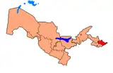 | |
| Cities | ||
| Towns | ||
| Villages | ||
This article is issued from Wikipedia. The text is licensed under Creative Commons - Attribution - Sharealike. Additional terms may apply for the media files.