| Quezaltepeque | |
|---|---|
 Quezaltepeque | |
| Highest point | |
| Elevation | 1,200 m (3,900 ft)[1] |
| Listing | Volcanoes in Guatemala |
| Coordinates | 14°34′N 89°27′W / 14.567°N 89.450°W[1] |
| Naming | |
| Etymology | "at the quetzal feather hill" or "at the tall upstanding hill" |
| Language of name | Nahuatl |
| Geography | |
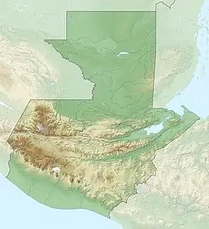
| Location | Chiquimula, Guatemala |
| Geology | |
| Mountain type | Volcanic field |
| Last eruption | Unknown[1] |
Quezaltepeque is a volcanic field in Chiquimula, Guatemala. It has erupted in the Holocene. It is an area of basaltic lava flows, which erupted from vents along a north–south trending fault without explosions, cutting through Tertiary pyroclastic rocks WNW of Ipala volcano about 5 km south of Quezaltepeque town. These basaltic flows issued passively from vents along a N-S-trending fault without accompanying explosive activity. There are mounds of lava over the vents.[1]
References
- 1 2 3 4 "Quezaltepeque". Global Volcanism Program. Smithsonian Institution. Retrieved 2020-03-21.
This article is issued from Wikipedia. The text is licensed under Creative Commons - Attribution - Sharealike. Additional terms may apply for the media files.