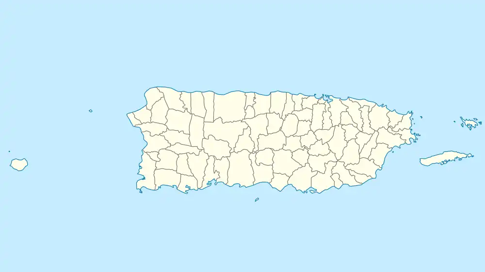
Río Matón Bridge | |
 | |
| Nearest city | Cayey, Puerto Rico |
|---|---|
| Coordinates | 18°08′23″N 66°12′39″W / 18.13972°N 66.21083°W |
| Area | less than one acre |
| Built | 1886 |
| Engineer | Manuel Lopez-Bayo |
| Architectural style | lateral solid web girder |
| MPS | Historic Bridges of Puerto Rico MPS |
| NRHP reference No. | 95000841[1] |
| Added to NRHP | July 19, 1995 |
The Río Matón Bridge, in Matón Abajo, a barrio of Cayey, Puerto Rico, was built in 1886. It was listed on the National Register of Historic Places in 1995.[1]
It is a lateral solid web girder bridge spanning Río Matón. It was built as part of the Carretera Central. Its iron span was designed by Spanish engineer Manuel Lopez-Bayo, and was brought from Europe. Its purchase cost was 11,105 francs.[2]
It carries Highway 14, at km 63.2.
It has also been known as Bridge #1.[1] Its designer was engineer, Manuel Lopez-Bayo. The bridge entered the NRHP because of its architecture and engineering and because it demonstrates an important time in the history of Puerto Rico.[2]
References
- 1 2 3 "National Register Information System". National Register of Historic Places. National Park Service. November 2, 2013.
- 1 2 Luis Pumarada O'Neill; PRSHPO staff (July 31, 1994). "National Register of Historic Places Registration: Rio Maton Bridge / Bridge #177". National Park Service. Retrieved May 17, 2019. With accompanying two photos from 1989 and 1993
This article is issued from Wikipedia. The text is licensed under Creative Commons - Attribution - Sharealike. Additional terms may apply for the media files.