Radljevo | |
|---|---|
 Radljevo | |
| Coordinates: 44°29′48″N 20°10′14″E / 44.49667°N 20.17056°E | |
| Country | |
| Municipality | Ub |
| Area | |
| • Total | 11.83 km2 (4.57 sq mi) |
| Elevation | 108 m (354 ft) |
| Population (2011) | |
| • Total | 611 |
| • Density | 52/km2 (130/sq mi) |
| Time zone | UTC+1 (CET) |
| • Summer (DST) | UTC+2 (CEST) |
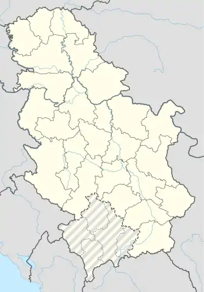
Radljevo (Serbian Cyrillic: Радљево) is a village in Serbia. It is situated in the Ub municipality, in the Kolubara District of Central Serbia. The village has a population of 611 inhabitants, as of 2011 census.
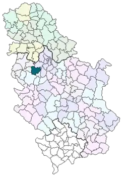
Location of the Ub municipality in Serbia
Historical population
- 1948: 1165
- 1953: 1172
- 1961: 1136
- 1971: 948
- 1981: 774
- 1991: 677
- 2002: 607
References
See also
44°29′48″N 20°10′14″E / 44.49667°N 20.17056°E
Wikimedia Commons has media related to Radljevo.
This article is issued from Wikipedia. The text is licensed under Creative Commons - Attribution - Sharealike. Additional terms may apply for the media files.