| Hun | |
|---|---|
.JPG.webp) River Hun close to Hunstanton Park | |
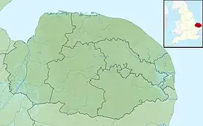 Location of the river mouth within Norfolk | |
| Location | |
| Country | England |
| State | Norfolk |
| Region | East of England |
| District | North West Norfolk |
| Physical characteristics | |
| Source | Hunstanton Park |
| • coordinates | 52°56′16″N 0°31′09″E / 52.9378°N 0.5192°E |
| • elevation | 9 m (30 ft) |
| Mouth | North Sea |
• location | Holme Next The Sea |
• coordinates | 52°58′19″N 0°33′39″E / 52.97194°N 0.56083°E |
• elevation | 0 m (0 ft) |
| Length | 3.9 mi (6.3 km) |
The River Hun is in the west of the county of Norfolk,[1] in England. Its source is in the grounds of Hunstanton Park. Its mouth can be found on the North Sea near Holme-next-the-Sea.
In the 11th century it was known as 'Esten broke' (i.e. Esten brook).[2]
.JPG.webp)
The River Hun at the point it flows under the A149 Coast Road
References
- ↑ Ordnance Survey (2002). OS Explorer Map 250 – Norfolk Coast West. ISBN 0-319-21886-4.
- ↑ History of Old Hunstanton Church
This article is issued from Wikipedia. The text is licensed under Creative Commons - Attribution - Sharealike. Additional terms may apply for the media files.