Sabarat | |
|---|---|
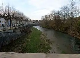 The Arize at Sabarat | |
.svg.png.webp) Coat of arms | |
Location of Sabarat | |
 Sabarat 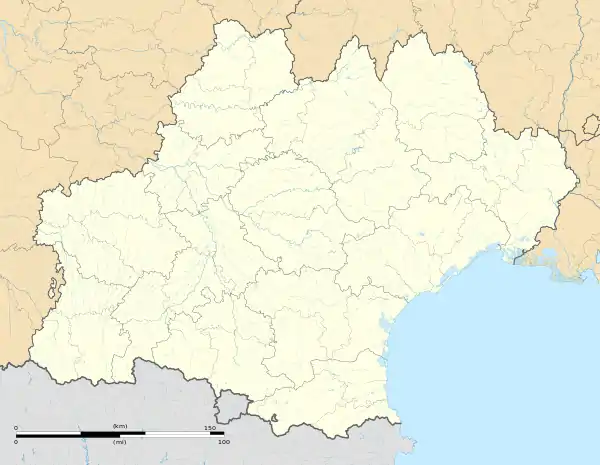 Sabarat | |
| Coordinates: 43°06′02″N 1°23′23″E / 43.1006°N 1.3897°E | |
| Country | France |
| Region | Occitania |
| Department | Ariège |
| Arrondissement | Saint-Girons |
| Canton | Arize-Lèze |
| Intercommunality | Arize Lèze |
| Government | |
| • Mayor (2020–2026) | Laurent Milhorat[1] |
| Area 1 | 9.5 km2 (3.7 sq mi) |
| Population | 394 |
| • Density | 41/km2 (110/sq mi) |
| Time zone | UTC+01:00 (CET) |
| • Summer (DST) | UTC+02:00 (CEST) |
| INSEE/Postal code | 09253 /09350 |
| Elevation | 265–510 m (869–1,673 ft) (avg. 266 m or 873 ft) |
| 1 French Land Register data, which excludes lakes, ponds, glaciers > 1 km2 (0.386 sq mi or 247 acres) and river estuaries. | |
Sabarat (French pronunciation: [sabaʁat]; Occitan: Savarat) is a commune in the Ariège department in southwestern France.
Population
Inhabitants are called Sabaratois.
| Year | Pop. | ±% p.a. |
|---|---|---|
| 1968 | 327 | — |
| 1975 | 305 | −0.99% |
| 1982 | 279 | −1.26% |
| 1990 | 304 | +1.08% |
| 1999 | 284 | −0.75% |
| 2007 | 344 | +2.42% |
| 2012 | 340 | −0.23% |
| 2017 | 361 | +1.21% |
| Source: INSEE[3] | ||
See also
References
- ↑ "Répertoire national des élus: les maires". data.gouv.fr, Plateforme ouverte des données publiques françaises (in French). 2 December 2020.
- ↑ "Populations légales 2021". The National Institute of Statistics and Economic Studies. 28 December 2023.
- ↑ Population en historique depuis 1968, INSEE
Wikimedia Commons has media related to Sabarat.
This article is issued from Wikipedia. The text is licensed under Creative Commons - Attribution - Sharealike. Additional terms may apply for the media files.