| Sandhubel | |
|---|---|
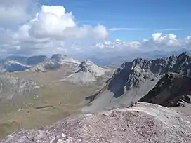 View from the summit | |
| Highest point | |
| Elevation | 2,764 m (9,068 ft) |
| Prominence | 117 m (384 ft)[1] |
| Parent peak | Guggernellgrat |
| Coordinates | 46°44′24.2″N 9°41′04.6″E / 46.740056°N 9.684611°E |
| Geography | |
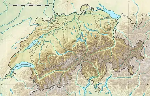 Sandhubel Location in Switzerland | |
| Location | Graubünden, Switzerland |
| Parent range | Plessur Alps |
The Sandhubel is a mountain of the Plessur Alps, located south of Arosa in the canton of Graubünden. It lies north of the Guggernellgrat.
References
External links
 Media related to Sandhubel at Wikimedia Commons
- Sandhubel on Hikr
This article is issued from Wikipedia. The text is licensed under Creative Commons - Attribution - Sharealike. Additional terms may apply for the media files.