Shere | |
|---|---|
 | |
 Shere 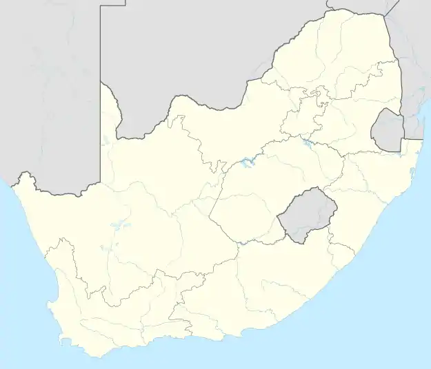 Shere 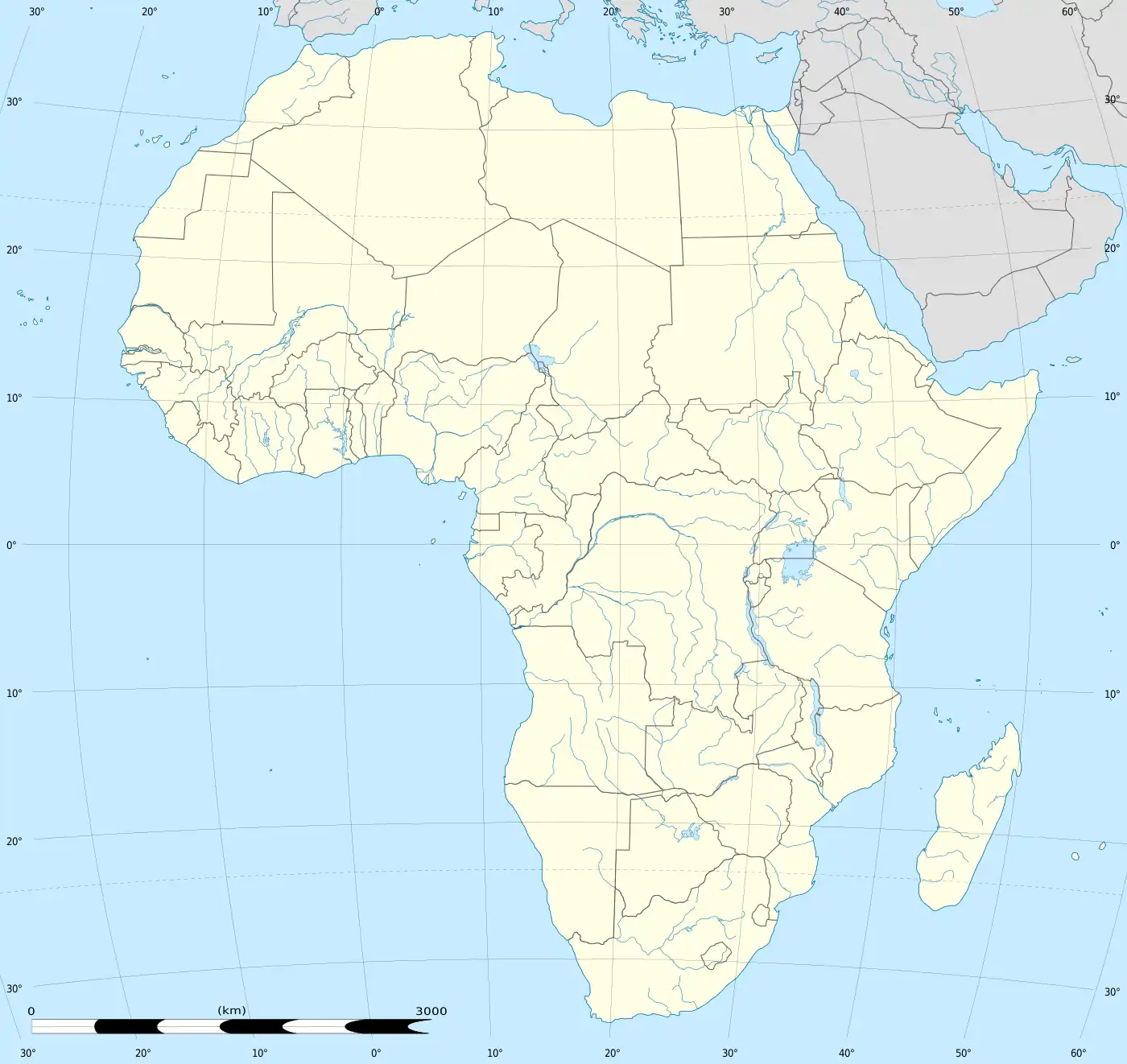 Shere | |
| Coordinates: 25°47′30″S 28°21′30″E / 25.79167°S 28.35833°E | |
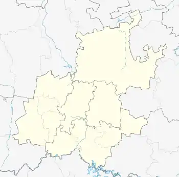
| Country | South Africa |
| Province | Gauteng |
| Municipality | City of Tshwane |
| Main Place | Pretoria |
| Area | |
| • Total | 3.26 km2 (1.26 sq mi) |
| Population (2011)[1] | |
| • Total | 47 |
| • Density | 14/km2 (37/sq mi) |
| Racial makeup (2011) | |
| • Black African | 42.6% |
| • White | 57.4% |
| First languages (2011) | |
| • Afrikaans | 53.2% |
| • English | 31.9% |
| • Zulu | 8.5% |
| • Northern Sotho | 2.1% |
| • Other | 4.3% |
| Time zone | UTC+2 (SAST) |
| Postal code (street) | 0084 |
| Area code | 012 |
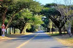
Shere is a residential area to the east of Pretoria, South Africa. It lies wedged between the Bronberg and Magaliesberg mountains.
References
- 1 2 3 4 "Sub Place Shere". Census 2011.
.svg.png.webp)
This article is issued from Wikipedia. The text is licensed under Creative Commons - Attribution - Sharealike. Additional terms may apply for the media files.