Stöckey | |
|---|---|
 | |
 Coat of arms | |
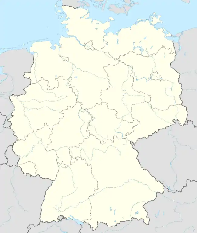
Location of Stöckey | |
 Stöckey 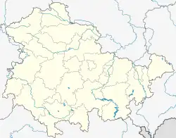 Stöckey | |
| Coordinates: 51°32′2″N 10°30′10″E / 51.53389°N 10.50278°E | |
| Country | Germany |
| State | Thuringia |
| District | Eichsfeld |
| Municipality | Sonnenstein |
| Area | |
| • Total | 7.77 km2 (3.00 sq mi) |
| Highest elevation | 245 m (804 ft) |
| Lowest elevation | 226 m (741 ft) |
| Population (2010-12-31) | |
| • Total | 420 |
| • Density | 54/km2 (140/sq mi) |
| Time zone | UTC+01:00 (CET) |
| • Summer (DST) | UTC+02:00 (CEST) |
| Postal codes | 37345 |
| Dialling codes | 036072 |
| Website | www.vg-eichsfeld-suedharz.de |
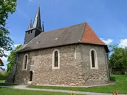
Stöckey is a village and a former municipality in the district of Eichsfeld in Thuringia, Germany. Since 1 December 2011, it is part of the municipality Sonnenstein,[1] of which it is an Ortschaft.[2]
References
This article is issued from Wikipedia. The text is licensed under Creative Commons - Attribution - Sharealike. Additional terms may apply for the media files.