Třebonín | |
|---|---|
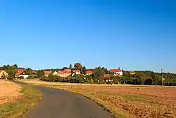 View from the southeast | |
 Flag  Coat of arms | |
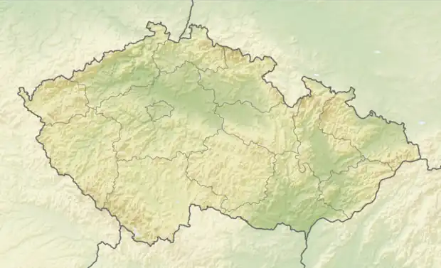 Třebonín Location in the Czech Republic | |
| Coordinates: 49°52′11″N 15°18′47″E / 49.86972°N 15.31306°E | |
| Country | |
| Region | Central Bohemian |
| District | Kutná Hora |
| First mentioned | 1194 |
| Area | |
| • Total | 3.42 km2 (1.32 sq mi) |
| Elevation | 340 m (1,120 ft) |
| Population (2023-01-01)[1] | |
| • Total | 138 |
| • Density | 40/km2 (100/sq mi) |
| Time zone | UTC+1 (CET) |
| • Summer (DST) | UTC+2 (CEST) |
| Postal code | 285 44 |
| Website | www |
Třebonín is a municipality and village in Kutná Hora District in the Central Bohemian Region of the Czech Republic. It had a population of 138 at the beginning of 2023.
References
Wikimedia Commons has media related to Třebonín.
This article is issued from Wikipedia. The text is licensed under Creative Commons - Attribution - Sharealike. Additional terms may apply for the media files.