Tashtun
Տաշտուն | |
|---|---|
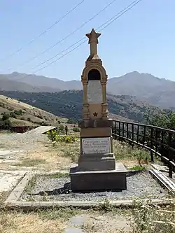 WWII monument in Tashtun | |
 Tashtun 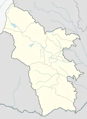 Tashtun | |
| Coordinates: 39°03′53″N 46°10′19″E / 39.06472°N 46.17194°E | |
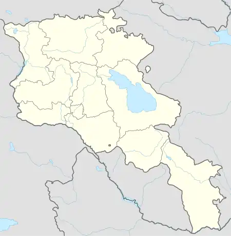
| Country | |
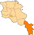
| Province | Syunik |
| Municipality | Meghri |
| Area | |
| • Total | 21.60 km2 (8.34 sq mi) |
| Population | |
| • Total | 104 |
| • Density | 4.8/km2 (12/sq mi) |
| Time zone | UTC+4 (AMT) |
Tashtun (Armenian: Տաշտուն) is a village in the Meghri Municipality of the Syunik Province in Armenia.
Demographics
The Statistical Committee of Armenia reported its population was 134 in 2010,[3] down from 170 at the 2001 census.[4]
Gallery
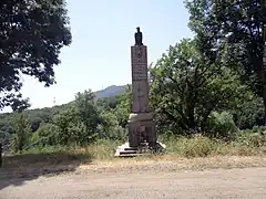 WWII monument in Tashtun
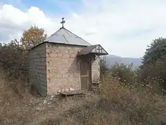 Chapel in Tashtun
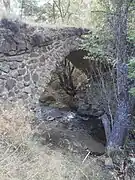 Bridge in Tashtun
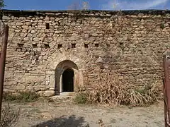 Church in Tashtun
References
Wikimedia Commons has media related to Tashtun.
- ↑ "Syunik regional e-Governance System" (in Armenian). Syunik Province provincial government. Click on link entitled "Համայնքներ" (community) and search for the place by Armenian name.
- ↑ Statistical Committee of Armenia. "The results of the 2011 Population Census of Armenia" (PDF).
- ↑ "Marzes of Armenia and Yerevan City in Figures, 2010" (PDF). Statistical Committee of Armenia.
- ↑ Report of the results of the 2001 Armenian Census, Statistical Committee of Armenia
This article is issued from Wikipedia. The text is licensed under Creative Commons - Attribution - Sharealike. Additional terms may apply for the media files.