Taylor, Utah | |
|---|---|
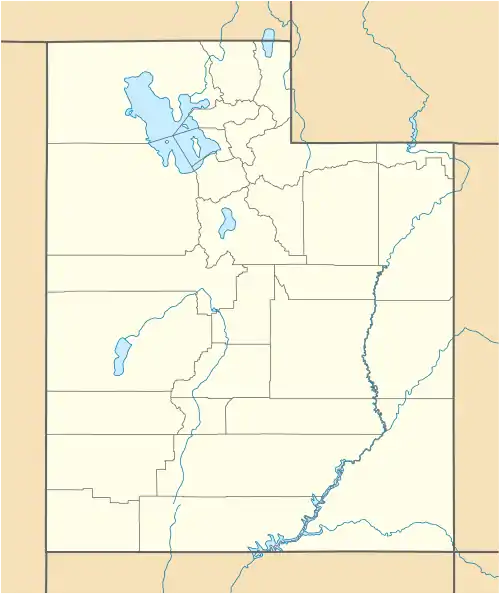 Tayor Location of Taylor within the State of Utah | |
| Coordinates: 41°13′38″N 112°05′01″W / 41.22722°N 112.08361°W | |
| Country | United States |
| State | Utah |
| County | Weber |
| Elevation | 4,239 ft (1,292 m) |
| Time zone | UTC-7 (Mountain (MST)) |
| • Summer (DST) | UTC-6 (MDT) |
| ZIP code | 84401 |
| Area code(s) | 385, 801 |
| GNIS feature ID | 1437699[1] |
Taylor is an unincorporated community in western Weber County, Utah, United States, located approximately 3.5 miles (5.6 km) west of Ogden.[2][1][3]
The community is part of the Weber School District and children from this community attend Kanesville Elementary,[4] Rocky Mountain Junior High,[5] and Fremont High School.[6]
See also
References
- 1 2 3 U.S. Geological Survey Geographic Names Information System: Taylor
- ↑ Van Cott, John W. (1990). Utah Place Names: A Comprehensive Guide to the Origins of Geographic Names: A Compilation. University of Utah Press. p. 365. ISBN 978-0-87480-345-7. OCLC 797284427. Retrieved February 8, 2018. Note: This reference mistakenly indicates that the community is located in Davis County, rather than Weber County.
- ↑ "MyTopo Maps - Taylor, UT, USA" (Map). mytopo.com. Trimble Navigation, Ltd. Retrieved February 8, 2018.
- ↑ "Elementary Boundaries 2017/2018". arcgis.com. Weber School District. Retrieved February 8, 2018.
- ↑ "Junior High School Boundaries 2017/18". arcgis.com. Weber School District. Retrieved February 8, 2018.
- ↑ "High School Boundaries 2017/18". arcgis.com. Weber School District. Retrieved February 8, 2018.
External links
![]() Media related to Taylor, Utah at Wikimedia Commons
Media related to Taylor, Utah at Wikimedia Commons
Municipalities and communities of Weber County, Utah, United States | ||
|---|---|---|
| Cities | 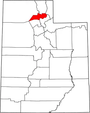 Map of Utah highlighting Weber County | |
| Town | ||
| Townships | ||
| CDPs | ||
| Unincorporated communities | ||
This article is issued from Wikipedia. The text is licensed under Creative Commons - Attribution - Sharealike. Additional terms may apply for the media files.