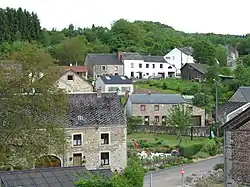
Tellin
| |
|---|---|
 | |
.svg.png.webp) Coat of arms | |
Location of Tellin | |
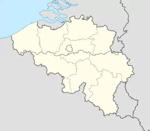 Tellin Location in Belgium
Location of Tellin in Luxembourg province 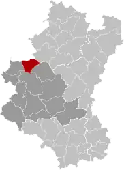 | |
| Coordinates: 50°4.9′N 05°13.1′E / 50.0817°N 5.2183°E | |
| Country | |
| Community | French Community |
| Region | Wallonia |
| Province | Luxembourg |
| Arrondissement | Neufchâteau |
| Government | |
| • Mayor | Yves Degeye |
| • Governing party/ies | ERC |
| Area | |
| • Total | 56.95 km2 (21.99 sq mi) |
| Population (2018-01-01)[1] | |
| • Total | 2,468 |
| • Density | 43/km2 (110/sq mi) |
| Postal codes | 6927 |
| NIS code | 84068 |
| Area codes | 084 |
| Website | (in French) www.tellin.be |
Tellin (French pronunciation: [tɛlɛ̃]; Walloon: Telin) is a municipality of Wallonia located in the province of Luxembourg, Belgium, in the Ardennes.
On 1 January 2007 the municipality, which covers 56.64 km², had 2,386 inhabitants, giving a population density of 42.1 inhabitants per km².
The municipality consists of the following districts: Bure, Grupont, Resteigne, and Tellin.
Sights
The Bell and Carillon Museum was housed in a former stagecoach inn, from 1992 to 2013. The museum showed the history of the foundry, manufacturing, professional secrets and the work of the bell-founders. In addition, there was a unique set of weather-vanes and clocks.
See also
References
- ↑ "Wettelijke Bevolking per gemeente op 1 januari 2018". Statbel. Retrieved 9 March 2019.
External links
 Media related to Tellin at Wikimedia Commons
Municipalities of the province of Luxembourg, Wallonia | ||
|---|---|---|
| Arlon | 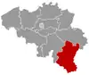 | |
| Bastogne | ||
| Marche-en-Famenne | ||
| Neufchâteau | ||
| Virton | ||
Bold indicates cities | ||
This article is issued from Wikipedia. The text is licensed under Creative Commons - Attribution - Sharealike. Additional terms may apply for the media files.