Terra Nova
New Land | |
|---|---|
Town | |
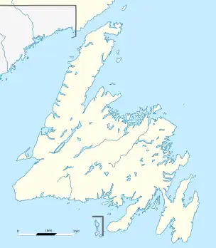 Terra Nova Location of Terra Nova in Newfoundland | |
| Coordinates: 48°30′N 54°13′W / 48.500°N 54.217°W | |
| Country | |
| Province | |
| Population (2021) | |
| • Total | 99 |
| Time zone | UTC-3:30 (Newfoundland Time) |
| • Summer (DST) | UTC-2:30 (Newfoundland Daylight) |
| Area code | 709 |
| Highways | |
| Website | https://townofterranova.ca/ |
Terra Nova is a town located southwest of Glovertown on the island of Newfoundland. It was served by the Canadian National Railway in the 1950s. The population in 2006 was 68, this from a historic low of just 28 in 1996. By 2016, the population had risen to 73, down slightly from the total of 83 recorded in 2011. There is a sizable leisure and summer population here seasonally as well as the stable permanent population.
Terra Nova is accessible from Route 1 (Trans-Canada Highway) via Route 301 (Terra Nova Road).
Demographics
In the 2021 Census of Population conducted by Statistics Canada, Terra Nova had a population of 99 living in 52 of its 164 total private dwellings, a change of 35.6% from its 2016 population of 73. With a land area of 2.44 km2 (0.94 sq mi), it had a population density of 40.6/km2 (105.1/sq mi) in 2021.[1]
See also
References
- ↑ "Population and dwelling counts: Canada, provinces and territories, census divisions and census subdivisions (municipalities), Newfoundland and Labrador". Statistics Canada. February 9, 2022. Retrieved March 15, 2022.
48°30′N 54°13′W / 48.500°N 54.217°W