Tichá | |
|---|---|
 Church of Saint Nicholas | |
 Flag  Coat of arms | |
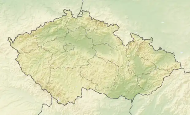 Tichá Location in the Czech Republic | |
| Coordinates: 49°34′12″N 18°13′17″E / 49.57000°N 18.22139°E | |
| Country | |
| Region | Moravian-Silesian |
| District | Nový Jičín |
| First mentioned | 1359 |
| Area | |
| • Total | 16.45 km2 (6.35 sq mi) |
| Elevation | 355 m (1,165 ft) |
| Population (2023-01-01)[1] | |
| • Total | 1,935 |
| • Density | 120/km2 (300/sq mi) |
| Time zone | UTC+1 (CET) |
| • Summer (DST) | UTC+2 (CEST) |
| Postal code | 742 74 |
| Website | www |
Tichá is a municipality and village in Nový Jičín District in the Moravian-Silesian Region of the Czech Republic. It has about 1,900 inhabitants. It lies in the Moravian-Silesian Foothills.
History
The first written mention of Tichá is from 1359.[2]
References
- ↑ "Population of Municipalities – 1 January 2023". Czech Statistical Office. 2023-05-23.
- ↑ "Historie obce Tichá" (in Czech). Obec Tichá. Retrieved 2022-02-15.
Wikimedia Commons has media related to Tichá (Nový Jičín District).
This article is issued from Wikipedia. The text is licensed under Creative Commons - Attribution - Sharealike. Additional terms may apply for the media files.