Tilligte | |
|---|---|
Village | |
 Simon and Judas Church | |
| Nickname(s): Waterpönskesdoarp (Water Bellies Village) | |
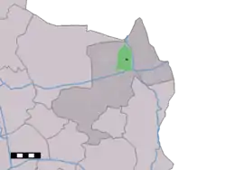 The town centre (dark green) and the statistical district (light green) of Tilligte in the municipality of Dinkelland. | |
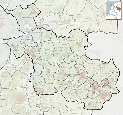 Tilligte Location in the Netherlands 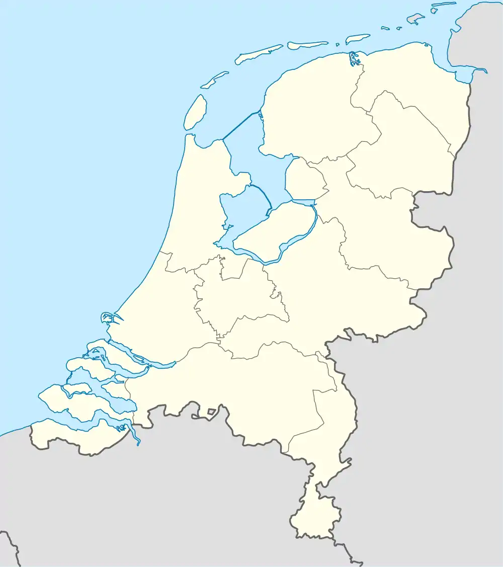 Tilligte Tilligte (Netherlands) | |
| Coordinates: 52°24′18″N 6°57′5″E / 52.40500°N 6.95139°E | |
| Country | Netherlands |
| Province | Overijssel |
| Municipality | Dinkelland |
| Area | |
| • Total | 10.12 km2 (3.91 sq mi) |
| Elevation | 21 m (69 ft) |
| Population (2021)[1] | |
| • Total | 770 |
| • Density | 76/km2 (200/sq mi) |
| Demonym | Tilligtenaren |
| Time zone | UTC+1 (CET) |
| • Summer (DST) | UTC+2 (CEST) |
| Postal code | 7634[1] |
| Dialing code | 0541 |
Tilligte is a rural village in the Dutch province of Overijssel. It is a part of the municipality of Dinkelland and is situated about 10 km north of Oldenzaal.
It was first mentioned in 1295 as Tilgede, and means "place where young oaks grow".[3] In 1840, it was home to 463 people.[4]
The windmill in the village is called 'Westerveld Möl'. The church is called 'Simon en Judaskerk'. Another point of interest is the water inlet 't Schuivenhuisje at the Kanaal Almelo-Nordhorn.
Gallery
 Architectural monument
 Architectural monument
 Westerveld Möl
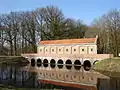 Schuivenhuisje
References
- 1 2 3 "Kerncijfers wijken en buurten 2021". Central Bureau of Statistics. Retrieved 15 March 2022.
- ↑ "Postcodetool for 7634PA". Actueel Hoogtebestand Nederland (in Dutch). Het Waterschapshuis. Retrieved 15 March 2022.
- ↑ "Tilligte - (geografische naam)". Etymologiebank (in Dutch). Retrieved 15 March 2022.
- ↑ "Tilligte". Plaatsengids (in Dutch). Retrieved 15 March 2022.
This article is issued from Wikipedia. The text is licensed under Creative Commons - Attribution - Sharealike. Additional terms may apply for the media files.