| Tinée | |
|---|---|
 | |
.png.webp) | |
| Location | |
| Country | France |
| Physical characteristics | |
| Source | |
| • location | Maritime Alps |
| • elevation | 2,700 m (8,900 ft) |
| Mouth | |
• location | Var |
• coordinates | 43°54′42″N 7°11′7″E / 43.91167°N 7.18528°E |
| Length | 70 km (43 mi) |
| Basin size | 743 km2 (287 sq mi) |
| Basin features | |
| Progression | Var→ Mediterranean Sea |
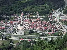
The Tinée (French pronunciation: [tine]; Occitan: Tiniá) is a river that flows through the Alpes-Maritimes department of southeastern France. It is 69.9 km (43.4 mi) long.[1] Its drainage basin is 743 km2 (287 sq mi).[2] Its source is on the east side of the Col de la Bonette, in the Maritime Alps. It flows through Saint-Étienne-de-Tinée, Isola and Saint-Sauveur-sur-Tinée, and it flows into the Var near Utelle. The Guercha and the Vionène are its tributaries.
References
- ↑ Sandre. "Fiche cours d'eau - La Tinée (Y62-0400)".
- ↑ Bassin versant : Tinée (La), Observatoire Régional Eau et Milieux Aquatiques en PACA
This article is issued from Wikipedia. The text is licensed under Creative Commons - Attribution - Sharealike. Additional terms may apply for the media files.