| Tresibaba | |
|---|---|
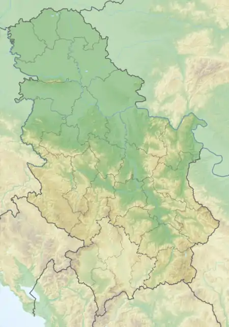 Tresibaba Location in Serbia | |
| Highest point | |
| Elevation | 826 m (2,710 ft)[1] |
| Coordinates | 43°26′10″N 22°21′21″E / 43.43611°N 22.35583°E |
| Geography | |
| Location | Southeastern Serbia |
Tresibaba (Serbian Cyrillic: Тресибаба) is a mountain in southeastern Serbia, between the towns of Svrljig and Knjaževac. Its highest peak Čukar has an elevation of 826 meters above sea level.
References
- ↑ Jovan Đokić. "Katalog planina Srbije". PSD Kopaonik Beograd. Archived from the original on 2011-05-18.
This article is issued from Wikipedia. The text is licensed under Creative Commons - Attribution - Sharealike. Additional terms may apply for the media files.