Tumtum, Washington | |
|---|---|
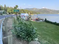 View from WA-291 looking east | |
 Tumtum, Washington | |
| Coordinates: 47°53′30″N 117°40′59″W / 47.89167°N 117.68306°W | |
| Country | United States |
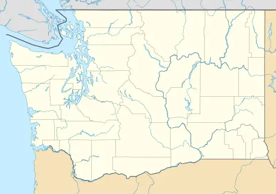
| State | Washington |
| County | Stevens |
| Elevation | 1,552 ft (473 m) |
| Time zone | UTC-8 (Pacific (PST)) |
| • Summer (DST) | UTC-7 (PDT) |
| ZIP code | 99034 |
| Area code | 509 |
| GNIS feature ID | 1511380[1] |
Tumtum is an unincorporated community in Stevens County, Washington, United States.[2] Tumtum is located along the Long Lake of the Spokane River, also known as Lake Spokane, and Washington State Route 291 20 miles (32 km) northwest of Spokane. Tumtum has a ZIP code of 99034.[3]
Tumtum is a Chinook Jargon term meaning "heart/soul".[4]
References
- ↑ U.S. Geological Survey Geographic Names Information System: Tumtum, Washington
- ↑ Washington State Highways 2011-2012 (PDF) (Map). Washington Department of Transportation. 2011. § D8. Retrieved July 10, 2012.
- ↑ ZIP Code Lookup
- ↑ Majors, Harry M. (1975). Exploring Washington. Van Winkle Publishing Co. p. 110. ISBN 978-0-918664-00-6.
Municipalities and communities of Stevens County, Washington, United States | ||
|---|---|---|
| Cities | 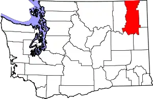 Map of Washington highlighting Stevens County | |
| Towns | ||
| CDPs | ||
| Other communities | ||
| Ghost towns | ||
| ||
This article is issued from Wikipedia. The text is licensed under Creative Commons - Attribution - Sharealike. Additional terms may apply for the media files.