Unterbergla | |
|---|---|
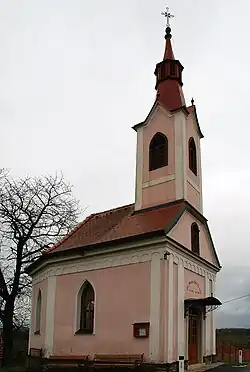 Chapel in Sulzhof, Unterbergla | |
 Coat of arms | |
 Unterbergla Location within Austria | |
| Coordinates: 46°48′36″N 15°18′52″E / 46.81000°N 15.31444°E | |
| Country | Austria |
| State | Styria |
| District | Deutschlandsberg |
| Government | |
| • Mayor | Josef Aldrian (ÖVP) |
| Area | |
| • Total | 22.97 km2 (8.87 sq mi) |
| Elevation | 382 m (1,253 ft) |
| Population (1 January 2016)[1] | |
| • Total | 1,338 |
| • Density | 58/km2 (150/sq mi) |
| Time zone | UTC+1 (CET) |
| • Summer (DST) | UTC+2 (CEST) |
| Postal code | 8522 |
| Area code | 03464 |
| Vehicle registration | DL |
| Website | www.unterbergla. steiermark.at |
Unterbergla is a former municipality in the district of Deutschlandsberg in the Austrian state of Styria. Since the 2015 Styria municipal structural reform, it is part of the municipality Groß Sankt Florian.[2]
Population
| Year | Pop. | ±% |
|---|---|---|
| 1869 | 1,425 | — |
| 1880 | 1,406 | −1.3% |
| 1890 | 1,363 | −3.1% |
| 1900 | 1,379 | +1.2% |
| 1910 | 1,400 | +1.5% |
| 1923 | 1,371 | −2.1% |
| 1934 | 1,415 | +3.2% |
| 1939 | 1,314 | −7.1% |
| 1951 | 1,406 | +7.0% |
| 1961 | 1,318 | −6.3% |
| 1971 | 1,397 | +6.0% |
| 1981 | 1,413 | +1.1% |
| 1991 | 1,425 | +0.8% |
| 2001 | 1,424 | −0.1% |
| 2011 | 1,392 | −2.2% |
References
This article is issued from Wikipedia. The text is licensed under Creative Commons - Attribution - Sharealike. Additional terms may apply for the media files.