Vĩnh Thọ | |
|---|---|
 Intersection of Thống Nhất - April 2 - Quang Trung street in Vĩnh Thọ ward | |
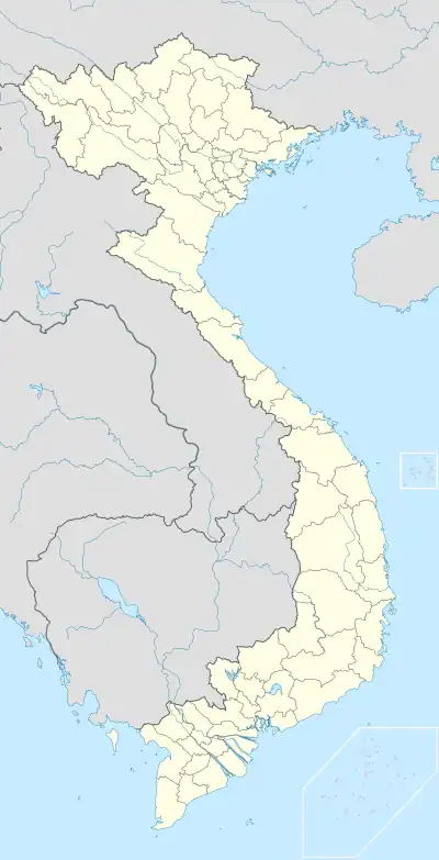 Vĩnh Thọ Location in Vietnam  Vĩnh Thọ Vĩnh Thọ (Southeast Asia)  Vĩnh Thọ Vĩnh Thọ (Asia) | |
| Coordinates: 12°16′02″N 109°12′00″E / 12.26722°N 109.20000°E | |
| Country | |
| Province | Khánh Hòa |
| City | Nha Trang |
| Region | Central Vietnam |
| Area | |
| • Total | 26 sq mi (067 km2) |
| Population (1999) | |
| • Total | 16,514 |
| • Density | 63,920/sq mi (24,678/km2) |
| Time zone | UTC+07:00 (Indochina Time) |
Vĩnh Thọ is a Ward in Nha Trang, Khánh Hòa Province, Vietnam. The local economy is mainly agricultural, with rice production and cattle breeding.
Geography
Vĩnh Thọ has a metropolitan area of 0.67 km2 (0.26 sq mi) and a population of about 16,514.[1]
References
- ↑ "Mã số đơn vị hành chính Việt Nam". Bộ Thông tin & Truyền thông. Archived from the original on 2013-03-24. Retrieved April 10, 2012.
Capital: Nha Trang | ||
| Nha Trang | Ward (19): Lộc Thọ · Ngọc Hiệp · Phước Hải · Phước Hòa · Phước Long · Phước Tân · Phước Tiến · Phương Sài · Phương Sơn · Tân Lập · Vạn Thắng · Vạn Thạnh · Vĩnh Hải · Vĩnh Hòa · Vĩnh Phước · Vĩnh Trường · Vĩnh Nguyên · Vĩnh Thọ · Xương Huân commune (8): Phước Đồng · Vĩnh Phương · Vĩnh Thạnh · Vĩnh Trung · Vĩnh Thái · Vĩnh Hiệp · Vĩnh Ngọc · Vĩnh Lương | 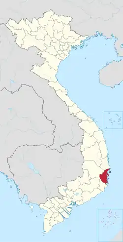 |
| Cam Ranh |
| |
| Ninh Hòa |
| |
| Cam Lâm District | Cam An Bắc · Cam An Nam · Cam Hải Đông · Cam Hải Tây · Cam Hiệp Bắc · Cam Hiệp Nam · Cam Hòa · Cam Phước Tây · Cam Tân · Cam Thành Bắc · Suối Tân · Sơn Tân · Suối Cát | |
| Diên Khánh District |
| |
| Khánh Sơn District |
| |
| Khánh Vĩnh District |
| |
| Trường Sa District |
| |
| Vạn Ninh District |
| |