Verningen | |
|---|---|
Village | |
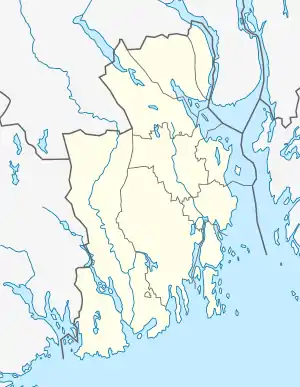 Verningen Location of the village  Verningen Verningen (Norway) | |
| Coordinates: 59°05′32″N 10°06′07″E / 59.09212°N 10.10208°E | |
| Country | Norway |
| Region | Eastern Norway |
| County | Vestfold |
| District | Vestfold |
| Municipality | Larvik Municipality |
| Area | |
| • Total | 0.91 km2 (0.35 sq mi) |
| Elevation | 77 m (253 ft) |
| Population (2022)[1] | |
| • Total | 1,003 |
| • Density | 1,098/km2 (2,840/sq mi) |
| Time zone | UTC+01:00 (CET) |
| • Summer (DST) | UTC+02:00 (CEST) |
| Post Code | 3270 Larvik |
Verningen is a village in Larvik Municipality in Vestfold county, Norway. The village is located along the European route E18 highway, about 6 kilometres (3.7 mi) to the northeast of the town of Larvik. The village of Himberg (an exclave of Sandefjord Municipality) lies just northeast of Verningen.
The 0.91-square-kilometre (220-acre) village has a population (2022) of 1,003 and a population density of 1,098 inhabitants per square kilometre (2,840/sq mi).[1] It is primarily a residential village, but there is some industry in the north, along the highway.
References
- 1 2 3 Statistisk sentralbyrå (1 January 2022). "Urban settlements. Population and area, by municipality".
- ↑ "Verningen, Larvik". yr.no. Retrieved 4 November 2023.
This article is issued from Wikipedia. The text is licensed under Creative Commons - Attribution - Sharealike. Additional terms may apply for the media files.