Vollrathsruhe | |
|---|---|
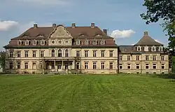 Palace | |
Location of Vollrathsruhe within Mecklenburgische Seenplatte district 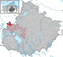 | |
 Vollrathsruhe 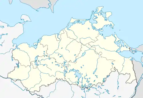 Vollrathsruhe | |
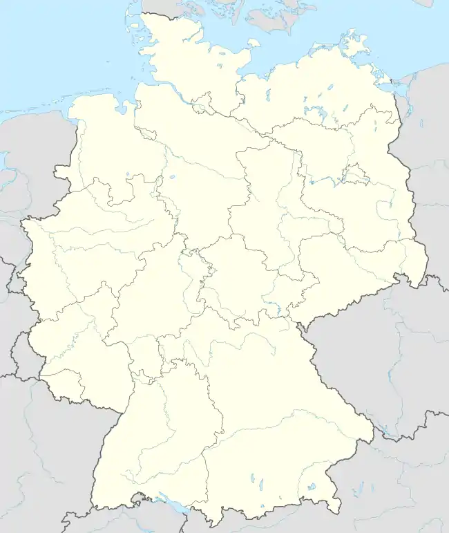
| Coordinates: 53°38′35″N 12°29′24″E / 53.64306°N 12.49000°E | |
| Country | Germany |
| State | Mecklenburg-Vorpommern |
| District | Mecklenburgische Seenplatte |
| Municipal assoc. | Seenlandschaft Waren |
| Government | |
| • Mayor | Siegfried Grohmann |
| Area | |
| • Total | 31.24 km2 (12.06 sq mi) |
| Elevation | 70 m (230 ft) |
| Population (2021-12-31)[1] | |
| • Total | 403 |
| • Density | 13/km2 (33/sq mi) |
| Time zone | UTC+01:00 (CET) |
| • Summer (DST) | UTC+02:00 (CEST) |
| Postal codes | 17194 |
| Dialling codes | 039933 |
| Vehicle registration | MÜR |
| Website | www |
Vollrathsruhe is a municipality in the Mecklenburgische Seenplatte district, in Mecklenburg-Vorpommern, in north-eastern Germany.
History
During World War II, in February 1945, a German-perpetrated death march of Allied prisoners-of-war from the Stalag XX-B POW camp passed through the village.[2]
Sights
- Village Church, Kirch Grubenhagen.
- Vollrathsruhe Estate with two-storey, 13-wing country house, park and mausoleum
- Dat lange Hus in Hallalit is of architectural interest: at 104 metres long, it is the longest fieldstone house in the region. This cottage was built in the mid-19th century for 16 families.
- Ruins of the 13th-century Grubenhagen Castle in Vollrathsruhe
- Protected central avant-corps of a building in Kirch Grubenhagen, Teterower Str. 3
- Schloss Grubenhagen country house and park
- Hellgrund Nature Reserve, Klein Rehberg and
- Wüste und Glase Nature Reserve in Klein Luckow with a Bronze Age/Slavic burgwall.
Gallery
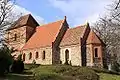 Church in Kirch Grubenhagen
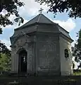 Chapel in the schloss park of Vollrathsruhe
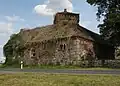 Fieldstone building in Vollrathsruhe
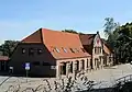 Building in Kirch Grubenhagen, Teterower Str. 3
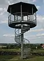 Viewing tower
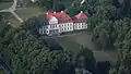 2014 aerial photograph of the castle
References
- ↑ "Bevölkerungsstand der Kreise, Ämter und Gemeinden 2021" (XLS) (in German). Statistisches Amt Mecklenburg-Vorpommern. 2022.
- ↑ Kaszuba, Sylwia. "Marsz 1945". In Grudziecka, Beata (ed.). Stalag XX B: historia nieopowiedziana (in Polish). Malbork: Muzeum Miasta Malborka. p. 102. ISBN 978-83-950992-2-9.
This article is issued from Wikipedia. The text is licensed under Creative Commons - Attribution - Sharealike. Additional terms may apply for the media files.