Vrocourt | |
|---|---|
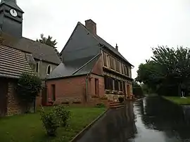 The town hall in Vrocourt | |
Location of Vrocourt | |
 Vrocourt 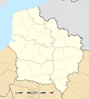 Vrocourt | |
| Coordinates: 49°31′47″N 1°53′14″E / 49.5297°N 1.8872°E | |
| Country | France |
| Region | Hauts-de-France |
| Department | Oise |
| Arrondissement | Beauvais |
| Canton | Grandvilliers |
| Intercommunality | Picardie Verte |
| Government | |
| • Mayor (2020–2026) | Aurélie Leguay[1] |
| Area 1 | 4.4 km2 (1.7 sq mi) |
| Population | 34 |
| • Density | 7.7/km2 (20/sq mi) |
| Time zone | UTC+01:00 (CET) |
| • Summer (DST) | UTC+02:00 (CEST) |
| INSEE/Postal code | 60697 /60112 |
| Elevation | 99–181 m (325–594 ft) (avg. 104 m or 341 ft) |
| 1 French Land Register data, which excludes lakes, ponds, glaciers > 1 km2 (0.386 sq mi or 247 acres) and river estuaries. | |
Vrocourt (French pronunciation: [vʁɔkuʁ]) is a commune in the Oise department in northern France.
Demography
| Year | Pop. | ±% p.a. |
|---|---|---|
| 1968 | 40 | — |
| 1975 | 31 | −3.58% |
| 1982 | 30 | −0.47% |
| 1990 | 33 | +1.20% |
| 1999 | 42 | +2.72% |
| 2009 | 39 | −0.74% |
| 2014 | 36 | −1.59% |
| 2020 | 34 | −0.95% |
| Source: INSEE[3] | ||
See also
References
- ↑ "Répertoire national des élus: les maires". data.gouv.fr, Plateforme ouverte des données publiques françaises (in French). 2 December 2020.
- ↑ "Populations légales 2021". The National Institute of Statistics and Economic Studies. 28 December 2023.
- ↑ Population en historique depuis 1968, INSEE
Wikimedia Commons has media related to Vrocourt.
This article is issued from Wikipedia. The text is licensed under Creative Commons - Attribution - Sharealike. Additional terms may apply for the media files.