Zádveřice-Raková | |
|---|---|
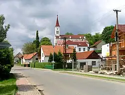 Evangelical church in Zádvěřice | |
 Flag  Coat of arms | |
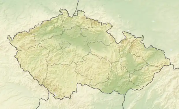 Zádveřice-Raková Location in the Czech Republic | |
| Coordinates: 49°12′58″N 17°48′13″E / 49.21611°N 17.80361°E | |
| Country | |
| Region | Zlín |
| District | Zlín |
| First mentioned | 1261 |
| Area | |
| • Total | 17.97 km2 (6.94 sq mi) |
| Elevation | 264 m (866 ft) |
| Population (2023-01-01)[1] | |
| • Total | 1,517 |
| • Density | 84/km2 (220/sq mi) |
| Time zone | UTC+1 (CET) |
| • Summer (DST) | UTC+2 (CEST) |
| Postal code | 763 12 |
| Website | www |
Zádveřice-Raková is a municipality in Zlín District in the Zlín Region of the Czech Republic. It has about 1,500 inhabitants.
Zádveřice-Raková lies approximately 11 kilometres (7 mi) east of Zlín and 263 km (163 mi) east of Prague.
Administrative parts
Zádveřice-Raková is made up of villages of Zádveřice and Raková.
History
The first written mention of Zádveřice is from 1261 and of Raková from 1549.[2] Zádveřice and Raková merged in 1960.[3]
Gallery
 Municipal office and the fire brigade
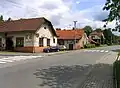 Restaurant
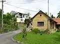 Raková
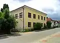 Old school building
References
- ↑ "Population of Municipalities – 1 January 2023". Czech Statistical Office. 2023-05-23.
- ↑ "Historie obce" (in Czech). Obec Zádveřice-Raková. Retrieved 2022-01-01.
- ↑ "O obci" (in Czech). Obec Zádveřice-Raková. Retrieved 2022-01-01.
Wikimedia Commons has media related to Zádveřice-Raková.
This article is issued from Wikipedia. The text is licensed under Creative Commons - Attribution - Sharealike. Additional terms may apply for the media files.