Caldes | |
|---|---|
| Comune di Caldes | |
_FIUME_NOCE_ag._09_-_panoramio.jpg.webp) | |
Location of Caldes | |
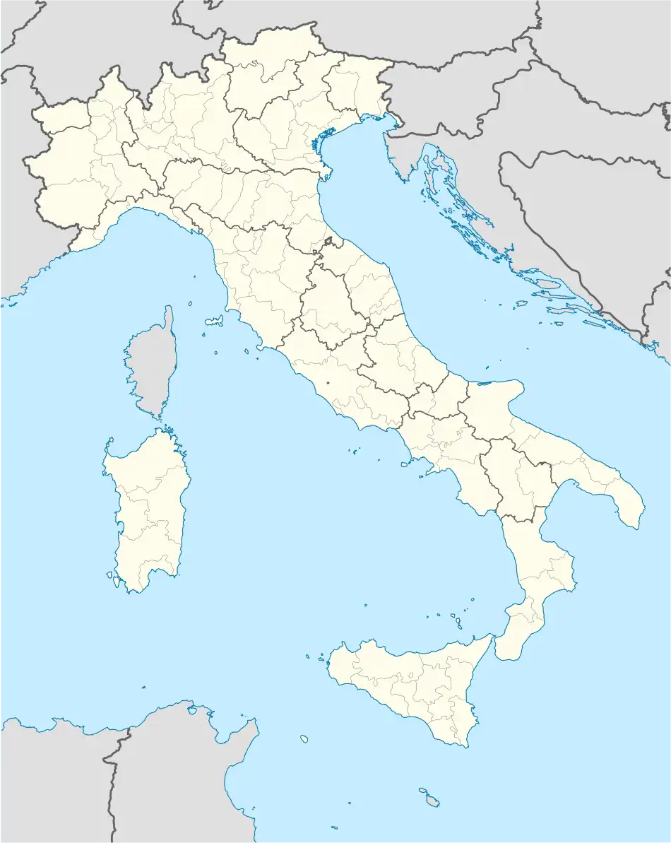 Caldes Location of Caldes in Italy 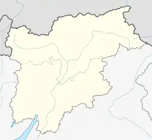 Caldes Caldes (Trentino-Alto Adige/Südtirol) | |
| Coordinates: 46°22′N 10°57′E / 46.367°N 10.950°E | |
| Country | Italy |
| Region | Trentino-Alto Adige/Südtirol |
| Province | Trentino (TN) |
| Frazioni | Bozzana, Bordiana, Tozzaga, Cassana, S. Giacomo, Samoclevo |
| Area | |
| • Total | 20.9 km2 (8.1 sq mi) |
| Population (Dec. 2004)[2] | |
| • Total | 1,049 |
| • Density | 50/km2 (130/sq mi) |
| Demonym | Caudesi |
| Time zone | UTC+1 (CET) |
| • Summer (DST) | UTC+2 (CEST) |
| Postal code | 38022 |
| Dialing code | 0463 |
Caldes (Caudés or Cjaudés in local dialect) is a comune (municipality) in Trentino in the northern Italian region Trentino-Alto Adige/Südtirol, located about 35 kilometres (22 mi) northwest of Trento. As of 31 December 2004, it had a population of 1,049 and an area of 20.9 square kilometres (8.1 sq mi).[3]
The municipality of Caldes contains the frazioni (subdivisions, mainly villages and hamlets) Bozzana, Bordiana, Tozzaga, Cassana, S. Giacomo, and Samoclevo.
Caldes borders the following municipalities: Bresimo, Cis, Malè, Cles, Terzolas, and Cavizzana. It is one of I Borghi più belli d'Italia ("The most beautiful villages of Italy").[4]
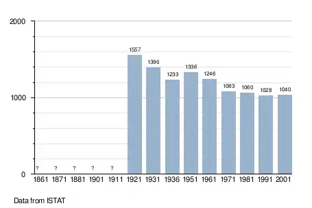
Demographic evolution
References
- ↑ "Superficie di Comuni Province e Regioni italiane al 9 ottobre 2011". Italian National Institute of Statistics. Retrieved 16 March 2019.
- ↑ "Popolazione Residente al 1° Gennaio 2018". Italian National Institute of Statistics. Retrieved 16 March 2019.
- ↑ All demographics and other statistics: Italian statistical institute Istat.
- ↑ "Trentino Alto Adige" (in Italian). Retrieved 31 July 2023.

This article is issued from Wikipedia. The text is licensed under Creative Commons - Attribution - Sharealike. Additional terms may apply for the media files.