Dzoragyugh
Ձորագյուղ | |
|---|---|
.jpg.webp) Masruts Anapat Church in Dzoragyugh | |
 Dzoragyugh 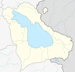 Dzoragyugh | |
| Coordinates: 40°10′10″N 45°11′55″E / 40.16944°N 45.19861°E | |
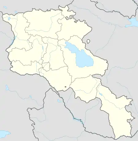
| Country | Armenia |
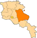
| Province | Gegharkunik |
| Municipality | Martuni |
| Reoccupied | 1930 |
| Elevation | 2,003 m (6,572 ft) |
| Population | |
| • Total | 4,737 |
| Time zone | UTC+4 (AMT) |
| Postal code | 1412 |
| Dzoragyugh, Gegharkunik at GEOnet Names Server | |
Dzoragyugh (Armenian: Ձորագյուղ) is a village in the Martuni Municipality of the Gegharkunik Province of Armenia. There is a ruined church dating back to the 9th century as well as a hermitage also of the 9th century in the village.[2]
Gallery
.jpg.webp) Holy Mother of God church in Dzoragyugh
Holy Mother of God church in Dzoragyugh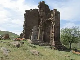 Shoghagavank Monastery
References
- ↑ Statistical Committee of Armenia. "The results of the 2011 Population Census of Armenia" (PDF).
- ↑ Kiesling, Brady; Kojian, Raffi (2005). Rediscovering Armenia: Guide (2nd ed.). Yerevan: Matit Graphic Design Studio. p. 79. ISBN 99941-0-121-8.
External links
Wikimedia Commons has media related to Dzoragyugh, Gegharkunik.
- Report of the results of the 2001 Armenian Census, Statistical Committee of Armenia
- Kiesling, Brady (June 2000). Rediscovering Armenia: An Archaeological/Touristic Gazetteer and Map Set for the Historical Monuments of Armenia (PDF). Archived (PDF) from the original on 6 November 2021.
This article is issued from Wikipedia. The text is licensed under Creative Commons - Attribution - Sharealike. Additional terms may apply for the media files.