Jamshet | |
|---|---|
village | |
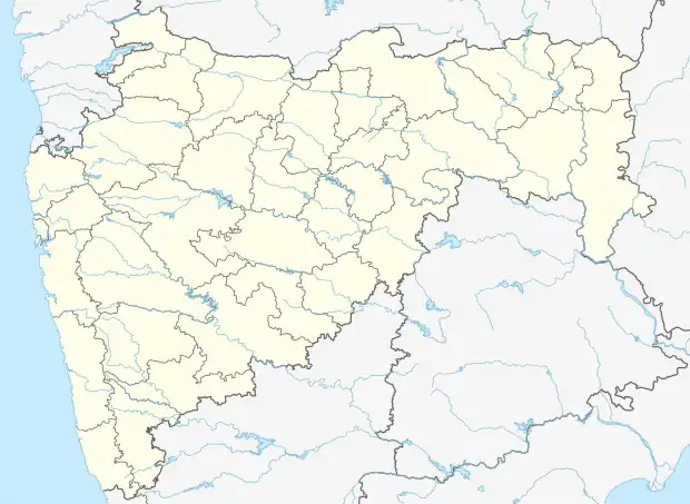 Jamshet Location in Maharashtra, India  Jamshet Jamshet (India) | |
| Coordinates: 19°58′18″N 72°47′43″E / 19.9716746°N 72.7954159°E | |
| Country | India |
| State | Maharashtra |
| District | Palghar |
| Taluka | Dahanu |
| Elevation | 21 m (69 ft) |
| Population (2011) | |
| • Total | 1,775 |
| Time zone | UTC+5:30 (IST) |
| 2011 census code | 551609 |
Jamshet is a village in the Palghar district of Maharashtra, India. It is located in the Dahanu taluka.[1]
Demographics
According to the 2011 census of India, Jamshet has 294 households. The effective literacy rate (i.e. the literacy rate of population excluding children aged 6 and below) is 54.58%.[2]
| Total | Male | Female | |
|---|---|---|---|
| Population | 1775 | 893 | 882 |
| Children aged below 6 years | 245 | 141 | 104 |
| Scheduled caste | 0 | 0 | 0 |
| Scheduled tribe | 1743 | 886 | 857 |
| Literates | 835 | 472 | 363 |
| Workers (all) | 658 | 387 | 271 |
| Main workers (total) | 608 | 366 | 242 |
| Main workers: Cultivators | 69 | 53 | 16 |
| Main workers: Agricultural labourers | 301 | 148 | 153 |
| Main workers: Household industry workers | 8 | 7 | 1 |
| Main workers: Other | 230 | 158 | 72 |
| Marginal workers (total) | 50 | 21 | 29 |
| Marginal workers: Cultivators | 3 | 1 | 2 |
| Marginal workers: Agricultural labourers | 31 | 12 | 19 |
| Marginal workers: Household industry workers | 3 | 2 | 1 |
| Marginal workers: Others | 13 | 6 | 7 |
| Non-workers | 1117 | 506 | 611 |
References
- ↑ "Maharashtra villages" (PDF). Land Records Information Systems Division, NIC. Archived from the original (PDF) on 4 March 2016. Retrieved 17 August 2015.
- 1 2 "District census data". 2011 Census of India. Directorate of Census Operations. Archived from the original on 2 October 2015. Retrieved 17 August 2015.
This article is issued from Wikipedia. The text is licensed under Creative Commons - Attribution - Sharealike. Additional terms may apply for the media files.