Narpad | |
|---|---|
village | |
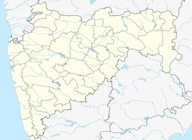 Narpad Location in Maharashtra, India  Narpad Narpad (India) | |
| Coordinates: 20°00′52″N 72°43′12″E / 20.014532°N 72.7200608°E | |
| Country | India |
| State | Maharashtra |
| District | Palghar |
| Taluka | Dahanu |
| Elevation | 12 m (39 ft) |
| Population (2011) | |
| • Total | 2,759 |
| Time zone | UTC+5:30 (IST) |
| ISO 3166 code | IN-MH |
| 2011 census code | 551589 |
Narpad is a village in the Palghar district of Maharashtra, India. It is located in the Dahanu taluka.[1]
Demographics
According to the 2011 census of India, Narpad has 695 households. The effective literacy rate (i.e. the literacy rate of population excluding children aged 6 and below) is 81.71%.[2]
| Total | Male | Female | |
|---|---|---|---|
| Population | 2759 | 1337 | 1422 |
| Children aged below 6 years | 250 | 120 | 130 |
| Scheduled caste | 453 | 220 | 233 |
| Scheduled tribe | 789 | 369 | 420 |
| Literates | 2050 | 1064 | 986 |
| Workers (all) | 1202 | 763 | 439 |
| Main workers (total) | 893 | 599 | 294 |
| Main workers: Cultivators | 75 | 58 | 17 |
| Main workers: Agricultural labourers | 23 | 8 | 15 |
| Main workers: Household industry workers | 102 | 32 | 70 |
| Main workers: Other | 693 | 501 | 192 |
| Marginal workers (total) | 309 | 164 | 145 |
| Marginal workers: Cultivators | 10 | 3 | 7 |
| Marginal workers: Agricultural labourers | 187 | 84 | 103 |
| Marginal workers: Household industry workers | 7 | 4 | 3 |
| Marginal workers: Others | 105 | 73 | 32 |
| Non-workers | 1557 | 574 | 983 |
References
- ↑ "Maharashtra villages" (PDF). Land Records Information Systems Division, NIC. Archived from the original (PDF) on 4 March 2016. Retrieved 17 August 2015.
- 1 2 "District census data". 2011 Census of India. Directorate of Census Operations. Retrieved 17 August 2015.
This article is issued from Wikipedia. The text is licensed under Creative Commons - Attribution - Sharealike. Additional terms may apply for the media files.