Veuil | |
|---|---|
.svg.png.webp) Coat of arms | |
Location of Veuil | |
 Veuil 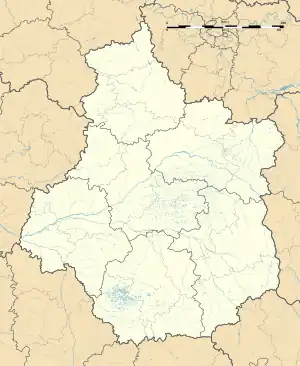 Veuil | |
| Coordinates: 47°07′20″N 1°31′33″E / 47.1222°N 1.5258°E | |
| Country | France |
| Region | Centre-Val de Loire |
| Department | Indre |
| Arrondissement | Châteauroux |
| Canton | Valençay |
| Government | |
| • Mayor (2020–2026) | Joël Rety[1] |
| Area 1 | 18.84 km2 (7.27 sq mi) |
| Population | 377 |
| • Density | 20/km2 (52/sq mi) |
| Time zone | UTC+01:00 (CET) |
| • Summer (DST) | UTC+02:00 (CEST) |
| INSEE/Postal code | 36235 /36600 |
| Elevation | 97–158 m (318–518 ft) (avg. 130 m or 430 ft) |
| 1 French Land Register data, which excludes lakes, ponds, glaciers > 1 km2 (0.386 sq mi or 247 acres) and river estuaries. | |
Veuil (French pronunciation: [vœj]) is a commune in the Indre department in central France.[3]
Population
| Year | Pop. | ±% p.a. |
|---|---|---|
| 1968 | 395 | — |
| 1975 | 375 | −0.74% |
| 1982 | 370 | −0.19% |
| 1990 | 386 | +0.53% |
| 1999 | 364 | −0.65% |
| 2009 | 379 | +0.40% |
| 2014 | 382 | +0.16% |
| 2020 | 377 | −0.22% |
| Source: INSEE[4] | ||
See also
References
- ↑ "Répertoire national des élus: les maires". data.gouv.fr, Plateforme ouverte des données publiques françaises (in French). 2 December 2020.
- ↑ "Populations légales 2021". The National Institute of Statistics and Economic Studies. 28 December 2023.
- ↑ INSEE commune file
- ↑ Population en historique depuis 1968, INSEE
Wikimedia Commons has media related to Veuil.
This article is issued from Wikipedia. The text is licensed under Creative Commons - Attribution - Sharealike. Additional terms may apply for the media files.