Bertaucourt-Epourdon | |
|---|---|
Commune | |
_mairie.JPG.webp) Town hall | |
Location of Bertaucourt-Epourdon | |
 Bertaucourt-Epourdon 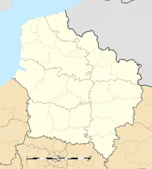 Bertaucourt-Epourdon | |
| Coordinates: 49°37′39″N 3°23′20″E / 49.6275°N 3.3889°E | |
| Country | France |
| Region | Hauts-de-France |
| Department | Aisne |
| Arrondissement | Laon |
| Canton | Tergnier |
| Intercommunality | CA Chauny Tergnier La Fère |
| Government | |
| • Mayor (2020–2026) | Philippe Marteau[1] |
| Area 1 | 7.46 km2 (2.88 sq mi) |
| Population | 587 |
| • Density | 79/km2 (200/sq mi) |
| Time zone | UTC+01:00 (CET) |
| • Summer (DST) | UTC+02:00 (CEST) |
| INSEE/Postal code | 02074 /02800 |
| Elevation | 57–121 m (187–397 ft) (avg. 99 m or 325 ft) |
| 1 French Land Register data, which excludes lakes, ponds, glaciers > 1 km2 (0.386 sq mi or 247 acres) and river estuaries. | |
Bertaucourt-Epourdon is a commune in the department of Aisne in Hauts-de-France in northern France.
Population
| Year | Pop. | ±% p.a. |
|---|---|---|
| 1968 | 482 | — |
| 1975 | 418 | −2.01% |
| 1982 | 489 | +2.27% |
| 1990 | 462 | −0.71% |
| 1999 | 515 | +1.21% |
| 2009 | 599 | +1.52% |
| 2014 | 618 | +0.63% |
| 2020 | 592 | −0.71% |
| Source: INSEE[3] | ||
See also
References
- ↑ "Répertoire national des élus: les maires". data.gouv.fr, Plateforme ouverte des données publiques françaises (in French). 9 August 2021.
- ↑ "Populations légales 2021". The National Institute of Statistics and Economic Studies. 28 December 2023.
- ↑ Population en historique depuis 1968, INSEE
Wikimedia Commons has media related to Bertaucourt-Epourdon.
This article is issued from Wikipedia. The text is licensed under Creative Commons - Attribution - Sharealike. Additional terms may apply for the media files.