Saint-Christophe-à-Berry | |
|---|---|
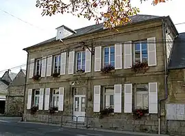 Town hall | |
Location of Saint-Christophe-à-Berry | |
 Saint-Christophe-à-Berry 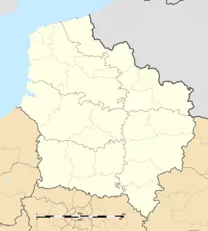 Saint-Christophe-à-Berry | |
| Coordinates: 49°25′26″N 3°08′02″E / 49.4239°N 3.1339°E | |
| Country | France |
| Region | Hauts-de-France |
| Department | Aisne |
| Arrondissement | Soissons |
| Canton | Vic-sur-Aisne |
| Government | |
| • Mayor (2020–2026) | Romuald Dauchelle[1] |
| Area 1 | 7.78 km2 (3.00 sq mi) |
| Population | 442 |
| • Density | 57/km2 (150/sq mi) |
| Time zone | UTC+01:00 (CET) |
| • Summer (DST) | UTC+02:00 (CEST) |
| INSEE/Postal code | 02673 /02290 |
| Elevation | 43–153 m (141–502 ft) (avg. 45 m or 148 ft) |
| 1 French Land Register data, which excludes lakes, ponds, glaciers > 1 km2 (0.386 sq mi or 247 acres) and river estuaries. | |
Saint-Christophe-à-Berry (French pronunciation: [sɛ̃ kʁistɔf a beʁi]) is a commune in the Aisne department in Hauts-de-France in northern France.
Population
| Year | Pop. | ±% |
|---|---|---|
| 1962 | 354 | — |
| 1968 | 350 | −1.1% |
| 1975 | 349 | −0.3% |
| 1982 | 335 | −4.0% |
| 1990 | 340 | +1.5% |
| 1999 | 347 | +2.1% |
| 2008 | 422 | +21.6% |
See also
References
- ↑ "Répertoire national des élus: les maires". data.gouv.fr, Plateforme ouverte des données publiques françaises (in French). 9 August 2021.
- ↑ "Populations légales 2021". The National Institute of Statistics and Economic Studies. 28 December 2023.
Wikimedia Commons has media related to Saint-Christophe-à-Berry.
This article is issued from Wikipedia. The text is licensed under Creative Commons - Attribution - Sharealike. Additional terms may apply for the media files.