Daours | |
|---|---|
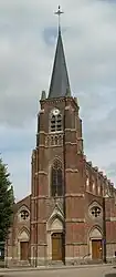 The church in Daours | |
Location of Daours | |
 Daours 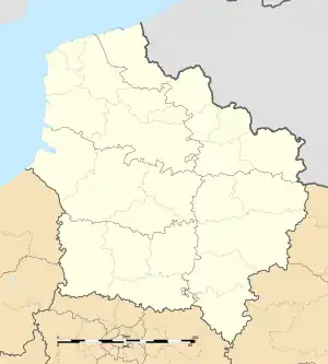 Daours | |
| Coordinates: 49°54′09″N 2°27′00″E / 49.9025°N 2.45°E | |
| Country | France |
| Region | Hauts-de-France |
| Department | Somme |
| Arrondissement | Amiens |
| Canton | Amiens-3 |
| Intercommunality | Val de Somme |
| Government | |
| • Mayor (2020–2026) | Didier Bardet[1] |
| Area 1 | 8.65 km2 (3.34 sq mi) |
| Population | 773 |
| • Density | 89/km2 (230/sq mi) |
| Time zone | UTC+01:00 (CET) |
| • Summer (DST) | UTC+02:00 (CEST) |
| INSEE/Postal code | 80234 /80800 |
| Elevation | 22–96 m (72–315 ft) (avg. 53 m or 174 ft) |
| 1 French Land Register data, which excludes lakes, ponds, glaciers > 1 km2 (0.386 sq mi or 247 acres) and river estuaries. | |
Daours (French pronunciation: [duʁ]; Picard: Dour) is a commune in the Somme department in Hauts-de-France in northern France.
Geography
Daours is situated on the D1 road, on the banks of the river Somme, some 7 miles (11 km) east of Amiens. Daours station has rail connections to Amiens and Albert.
Population
| Year | Pop. | ±% p.a. |
|---|---|---|
| 1968 | 718 | — |
| 1975 | 788 | +1.34% |
| 1982 | 762 | −0.48% |
| 1990 | 789 | +0.44% |
| 1999 | 768 | −0.30% |
| 2007 | 777 | +0.15% |
| 2012 | 815 | +0.96% |
| 2017 | 797 | −0.45% |
| Source: INSEE[3] | ||
See also
References
- ↑ "Répertoire national des élus: les maires". data.gouv.fr, Plateforme ouverte des données publiques françaises (in French). 2 December 2020.
- ↑ "Populations légales 2021". The National Institute of Statistics and Economic Studies. 28 December 2023.
- ↑ Population en historique depuis 1968, INSEE
External links
Wikimedia Commons has media related to Daours.
This article is issued from Wikipedia. The text is licensed under Creative Commons - Attribution - Sharealike. Additional terms may apply for the media files.