Mons | |
|---|---|
 Town Hall | |
Location of Mons | |
 Mons 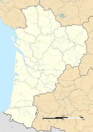 Mons | |
| Coordinates: 45°52′10″N 0°00′49″W / 45.8694°N 0.0136°W | |
| Country | France |
| Region | Nouvelle-Aquitaine |
| Department | Charente |
| Arrondissement | Cognac |
| Canton | Val de Nouère |
| Intercommunality | Rouillacais |
| Government | |
| • Mayor (2020–2026) | Patrick Mesnard[1] |
| Area 1 | 20.11 km2 (7.76 sq mi) |
| Population | 230 |
| • Density | 11/km2 (30/sq mi) |
| Time zone | UTC+01:00 (CET) |
| • Summer (DST) | UTC+02:00 (CEST) |
| INSEE/Postal code | 16221 /16140 |
| Elevation | 54–141 m (177–463 ft) (avg. 85 m or 279 ft) |
| 1 French Land Register data, which excludes lakes, ponds, glaciers > 1 km2 (0.386 sq mi or 247 acres) and river estuaries. | |
Mons is a commune in the Charente département in southwestern France.
Population
| Year | Pop. | ±% p.a. |
|---|---|---|
| 1968 | 278 | — |
| 1975 | 257 | −1.12% |
| 1982 | 228 | −1.70% |
| 1990 | 225 | −0.17% |
| 1999 | 232 | +0.34% |
| 2009 | 261 | +1.18% |
| 2014 | 249 | −0.94% |
| 2020 | 234 | −1.03% |
| Source: INSEE[3] | ||
See also
References
- ↑ "Répertoire national des élus: les maires". data.gouv.fr, Plateforme ouverte des données publiques françaises (in French). 2 December 2020.
- ↑ "Populations légales 2021". The National Institute of Statistics and Economic Studies. 28 December 2023.
- ↑ Population en historique depuis 1968, INSEE
Wikimedia Commons has media related to Mons (Charente).
This article is issued from Wikipedia. The text is licensed under Creative Commons - Attribution - Sharealike. Additional terms may apply for the media files.